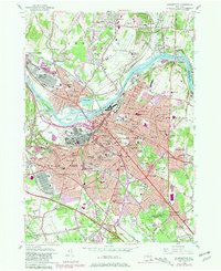
1954 Map of Schenectady
USGS Topo · Published 1981About this map
The Mohawk River serves as the central artery for this mid-century look at the industrial and residential heart of eastern New York. A series of islands named for the Iroquois Confederacy, including Isle of the Oneidas and Isle of the Mohawks, dot the river as it flows through the urban center. The city's post-war expansion is visible in the suburban growth of Scotia, Niskayuna, and Bellevue, while the US Naval Res Scotia Naval Supply Depot reflects the era's significant military footprint.
Find a feature on this map
104 named features on this map. Tap any name to fly to it.
Don’t see what you’re looking for? This feature index may not catch every label — zoom into the map to look around manually.
Map Details
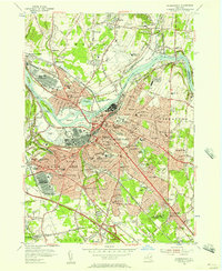
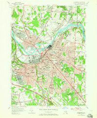
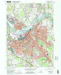
Editions of this 1954 Schenectady Map
4 editions found
Other maps of this area

1893 · Schenectady
USGS Topo · 1:62,500

1893 · Albany
USGS Topo · 1:62,500

1895 · Albany
USGS Topo · 1:62,500

1895 · Schenectady
USGS Topo · 1:62,500

1895 · Amsterdam
USGS Topo · 1:62,500

1898 · Schenectady
USGS Topo · 1:62,500

1898 · Albany
USGS Topo · 1:62,500

1900 · Berne
USGS Topo · 1:62,500

1903 · Berne
USGS Topo · 1:62,500

1927 · Albany
USGS Topo · 1:62,500