
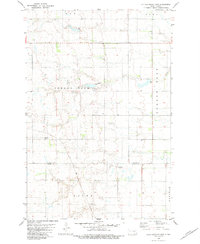
1982 Map of Schlecht-Weixel Dam
USGS Topo · Published 1983About this map
The undulating prairie of LaMoure County is defined here by its glacial prairie potholes and the conservation efforts of the late twentieth century. Large portions of the terrain are designated as the National Waterfowl Production Area, highlighting the region's importance to the Central Flyway and the preservation of wetland habitats. Water management is central to the area's development, anchored by the Schlecht-Weixel Dam and the winding course of Maple Creek as it moves through the eastern sections.
Find a feature on this map
9 named features on this map. Tap any name to fly to it.
Don’t see what you’re looking for? This feature index may not catch every label — zoom into the map to look around manually.
Map Details
Editions of this 1982 Schlecht-Weixel Dam Map
This is the sole edition of this map. No revisions or reprints were ever made.
Other maps of this area

1896 · Jamestown
USGS Topo · 1:125,000

1896 · Edgeley
USGS Topo · 1:125,000

1925 · Edgeley
USGS Topo · 1:125,000

1953 · Jamestown
USGS Topo · 1:250,000

1953 · Jud
USGS Topo · 1:24,000

1953 · Jud SE
USGS Topo · 1:24,000

1956 · Jamestown
USGS Topo · 1:250,000

1982 · Fredonia
USGS Topo · 1:24,000

1982 · Deisem
USGS Topo · 1:24,000
1982 · Kulm-Edgeley Dam
USGS Topo · 1:24,000