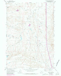
1961 Map of Schlicht Draw
USGS Topo · Published 1981About this map
South Fork Crazy Woman Creek snakes through this high-plains landscape, where the land rises toward the prominent feature known as The Mesa in the southern portion of the quadrangle. The 1961 field check captures a period of ranching and early infrastructure in Johnson County, evidenced by the Gosney Ranch and a remote Radio Facility. Water management is central to the area's utility, with Horn Creek Reservoir and Willow Glen Reservoir serving the dry drainage basins.
Find a feature on this map
17 named features on this map. Tap any name to fly to it.
Don’t see what you’re looking for? This feature index may not catch every label — zoom into the map to look around manually.
Map Details
Editions of this 1961 Schlicht Draw Map
2 editions found
Other maps of this area

1900 · Fort McKinney
USGS Topo · 1:125,000

1903 · Fort McKinney
USGS Topo · 1:125,000

1955 · Sheridan
USGS Topo · 1:250,000

1955 · Arminto
USGS Topo · 1:250,000

1958 · Sheridan
USGS Topo · 1:250,000

1958 · Arminto
USGS Topo · 1:250,000

1961 · Dry Creek Reservoir
USGS Topo · 1:24,000

1961 · Antelope Draw
USGS Topo · 1:24,000

1961 · Schlict Draw
USGS Topo · 1:24,000

1961 · Hibbard Draw
USGS Topo · 1:24,000