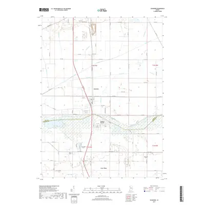
2019 Map of Schneider
USGS Topo · Published 2019About this map
The Kankakee River marks a sharp boundary between Lake and Newton counties, defining a landscape engineered for drainage and agricultural utility. This 2019 survey shows the intricate network of water management features, including Singleton Ditch, Williams Ditch, and Beaver Lake Ditch, which dominate the low-lying terrain. The town of Schneider sits as a central hub north of the river, while the recreational community of Sumava Resorts and the settlement of Lake Village characterize the southern portion of the sheet.
Find a feature on this map
88 named features on this map. Tap any name to fly to it.
Don’t see what you’re looking for? This feature index may not catch every label — zoom into the map to look around manually.
Map Details
Editions of this 2019 Schneider Map
This is the sole edition of this map. No revisions or reprints were ever made.
Other maps of this area

1922 · Momence
USGS Topo · 1:62,500

1924 · Momence
USGS Topo · 1:62,500

1949 · Crete
USGS Topo · 1:62,500

1953 · Leroy
USGS Topo · 1:24,000

1953 · Beecher East
USGS Topo · 1:24,000

1953 · Lowell
USGS Topo · 1:24,000

1953 · Chicago
USGS Topo · 1:250,000

1957 · Chicago
USGS Topo · 1:250,000

1959 · Schneider
USGS Topo · 1:24,000

1959 · Shelby
USGS Topo · 1:24,000