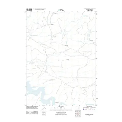
2012 Map of Schneider Ridge
USGS Topo · Published 2012About this map
Seminoe Reservoir defines the southwestern corner of this Carbon County landscape, where the Medicine Bow River meets the impounded waters of the reservoir. The map reveals a settlement pattern characterized by large-scale ranching, with family-named operations like Huhtula Ranch, Pallesen Ranch, and Atkinson Ranch distributed across a network of drainages including Beaver Jimmy Cr and Austin Cr.
Find a feature on this map
31 named features on this map. Tap any name to fly to it.
Don’t see what you’re looking for? This feature index may not catch every label — zoom into the map to look around manually.
Map Details
Editions of this 2012 Schneider Ridge Map
This is the sole edition of this map. No revisions or reprints were ever made.
Other maps of this area

1893 · Fort Steele
USGS Topo · 1:125,000

1914 · Hanna
USGS Topo · 1:62,500

1914 · Walcott
USGS Topo · 1:62,500

1953 · Seminoe Dam NE
USGS Topo · 1:24,000

1953 · Seminoe Dam SE
USGS Topo · 1:24,000

1953 · Schneider Ridge
USGS Topo · 1:24,000

1953 · The Q Ranch
USGS Topo · 1:24,000

1953 · T E Ranch
USGS Topo · 1:24,000

1953 · Beaver Creek
USGS Topo · 1:24,000

1954 · Rawlins
USGS Topo · 1:250,000