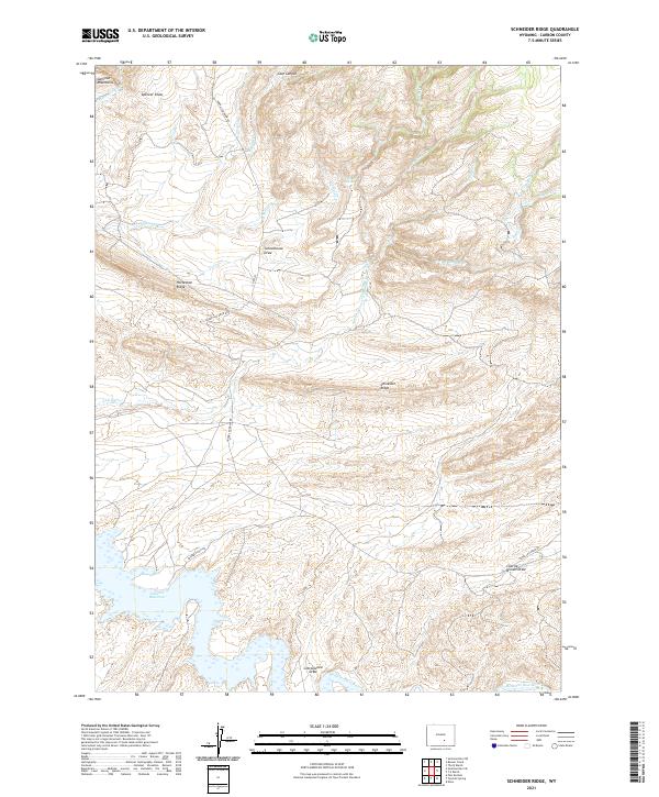
2021 Map of Schneider Ridge
USGS Topo · Published 2021About this map
Seminoe Reservoir anchors the southwestern corner of this Carbon County landscape, where the northern reaches of the impoundment meet the Medicine Bow River. The terrain is defined by a series of prominent high points and drainage systems, including the Seminoe Mountains in the northwest and the central Schneider Ridge. These topographical features are separated by named draws and canyons that suggest a history of seasonal water management and grazing, such as Schoolhouse Draw, Spencer Draw, and Case Canyon.
Find a feature on this map
30 named features on this map. Tap any name to fly to it.
Don’t see what you’re looking for? This feature index may not catch every label — zoom into the map to look around manually.
Map Details
Editions of this 2021 Schneider Ridge Map
This is the sole edition of this map. No revisions or reprints were ever made.
Other maps of this area

1893 · Fort Steele
USGS Topo · 1:125,000

1914 · Hanna
USGS Topo · 1:62,500

1914 · Walcott
USGS Topo · 1:62,500

1953 · Seminoe Dam NE
USGS Topo · 1:24,000

1953 · Seminoe Dam SE
USGS Topo · 1:24,000

1953 · Schneider Ridge
USGS Topo · 1:24,000

1953 · The Q Ranch
USGS Topo · 1:24,000

1953 · T E Ranch
USGS Topo · 1:24,000

1953 · Beaver Creek
USGS Topo · 1:24,000

1954 · Rawlins
USGS Topo · 1:250,000