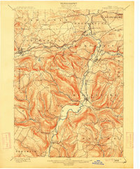
1900 Map of Schoharie
USGS Topo · Published 1915About this map
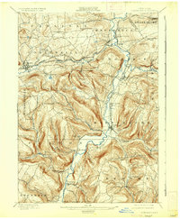
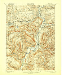
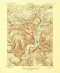
Schoharie Creek dominates this turn-of-the-century landscape, carving a deep valley through the northern Catskill plateau. The map highlights a settled agricultural and industrial corridor where the Delaware and Hudson RR follows the Cobleskill Creek through the town of Cobleskill and past the distinctive geological site at Howes Cave. In the south, the terrain becomes significantly more complex, marked by the prominent summit of Petersburg Mt. and the iconic profile of Vroomans Nose overlooking the creek flats. For local historians, the 1898 survey detail reveals the precise placement of smaller hamlets and rural hubs like Middleburg, Breakabeen, and Mineral Springs before the modernization of the 20th century. The intricate network of small waterways, such as Panther Creek and Stony Creek, suggests a landscape once defined by the power of its many tributary runs.
Find a feature on this map
59 named features on this map. Tap any name to fly to it.
Don’t see what you’re looking for? This feature index may not catch every label — zoom into the map to look around manually.
Map Details
Editions of this 1900 Schoharie Map
8 editions found
Other maps of this area

1893 · Durham
USGS Topo · 1:62,500

1894 · Durham
USGS Topo · 1:62,500

1895 · Amsterdam
USGS Topo · 1:62,500

1896 · Fonda
USGS Topo · 1:62,500

1898 · Fonda
USGS Topo · 1:62,500

1898 · Canajoharie
USGS Topo · 1:62,500

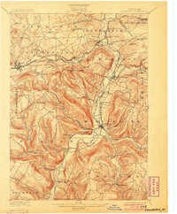
1898 · Schoharie
USGS Topo · 1:62,500

1900 · Canajoharie
USGS Topo · 1:62,500

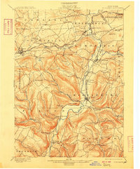
1900 · Schoharie
USGS Topo · 1:62,500

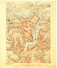
1900 · Schoharie
USGS Topo · 1:31,680