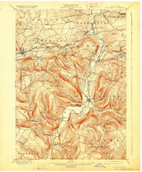
1900 Map of Schoharie
USGS Topo · Published 1928About this map
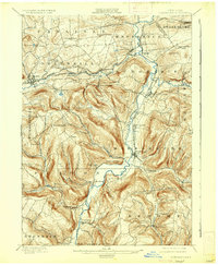
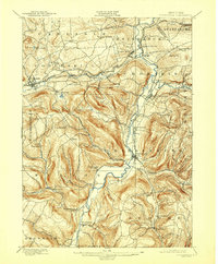
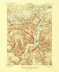
Schoharie and Middleburg anchor this late nineteenth-century landscape, situated along the winding course of Schoharie Creek. The area's industrial and transit foundations are visible through the path of the Delaware and Hudson railroad, which services hubs like Schoharie Junction and Howes Cave. The topography is defined by significant elevations such as Petersburg Mt and the distinctive promontory of Vroomans Nose, which overlooks the valley south of Middleburg. Small upland settlements including Patria, Mineral Springs, and Fultonham are connected by a network of early roads, reflecting a period when agricultural and mill-based economies dictated local development. In the southern portion of the quadrangle, Boucks Falls and the headwaters of Catskill Creek mark the descent toward the Catskill region, while the northern edge tracks the Susquehanna Division waterway through Esperance Station.
Find a feature on this map
58 named features on this map. Tap any name to fly to it.
Don’t see what you’re looking for? This feature index may not catch every label — zoom into the map to look around manually.
Map Details
Editions of this 1900 Schoharie Map
8 editions found
Other maps of this area

1893 · Durham
USGS Topo · 1:62,500

1894 · Durham
USGS Topo · 1:62,500

1895 · Amsterdam
USGS Topo · 1:62,500

1896 · Fonda
USGS Topo · 1:62,500

1898 · Fonda
USGS Topo · 1:62,500

1898 · Canajoharie
USGS Topo · 1:62,500

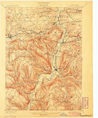
1898 · Schoharie
USGS Topo · 1:62,500

1900 · Canajoharie
USGS Topo · 1:62,500

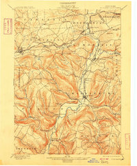
1900 · Schoharie
USGS Topo · 1:62,500

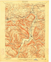
1900 · Schoharie
USGS Topo · 1:31,680