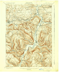
1900 Map of Schoharie
USGS Topo · Published 1936About this map
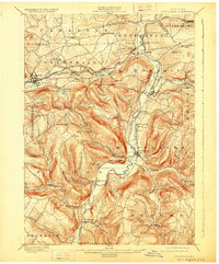
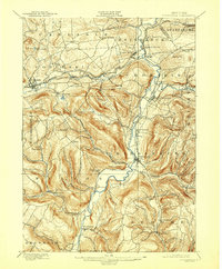
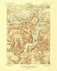
Schoharie Creek dominates this turn-of-the-century landscape, carving a deep valley through the northern Catskill foothills. The village of Schoharie and nearby Middleburg serve as the primary hubs, connected by the Middleburg and Schoharie Valley RR. Further north, the Delaware and Hudson railroad tracks the course of Cobleskill Creek, passing through industrial and agricultural centers like Howes Cave and Cobleskill.
Find a feature on this map
57 named features on this map. Tap any name to fly to it.
Don’t see what you’re looking for? This feature index may not catch every label — zoom into the map to look around manually.
Map Details
Editions of this 1900 Schoharie Map
8 editions found
Other maps of this area

1893 · Durham
USGS Topo · 1:62,500

1894 · Durham
USGS Topo · 1:62,500

1895 · Amsterdam
USGS Topo · 1:62,500

1896 · Fonda
USGS Topo · 1:62,500

1898 · Fonda
USGS Topo · 1:62,500

1898 · Canajoharie
USGS Topo · 1:62,500

1898 · Schoharie
USGS Topo · 1:62,500

1900 · Canajoharie
USGS Topo · 1:62,500

1900 · Schoharie
USGS Topo · 1:62,500

1900 · Schoharie
USGS Topo · 1:31,680