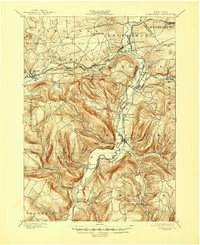
1900 Map of Schoharie
USGS Topo · Published 1947About this map
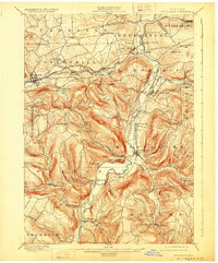
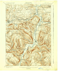
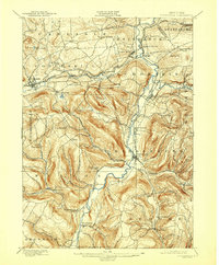
Schoharie Creek carves a deep valley through the heart of the county, serving as the primary axis for development at the turn of the century. The northern sections of the valley are defined by the industry of the Delaware and Hudson railroad and the Susquehanna Division, connecting hubs like Central Bridge and Cobleskill. These rails supported local economies near landmarks such as Howes Cave and the rural trade at Barnerville.
Find a feature on this map
59 named features on this map. Tap any name to fly to it.
Don’t see what you’re looking for? This feature index may not catch every label — zoom into the map to look around manually.
Map Details
Editions of this 1900 Schoharie Map
8 editions found
Other maps of this area

1893 · Durham
USGS Topo · 1:62,500

1894 · Durham
USGS Topo · 1:62,500

1895 · Amsterdam
USGS Topo · 1:62,500

1896 · Fonda
USGS Topo · 1:62,500

1898 · Fonda
USGS Topo · 1:62,500

1898 · Canajoharie
USGS Topo · 1:62,500

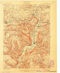
1898 · Schoharie
USGS Topo · 1:62,500

1900 · Canajoharie
USGS Topo · 1:62,500

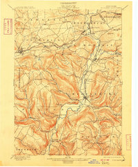
1900 · Schoharie
USGS Topo · 1:62,500

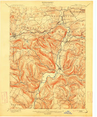
1900 · Schoharie
USGS Topo · 1:31,680