
1900 Map of Schoharie
USGS Topo · Published 1900About this map
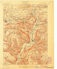
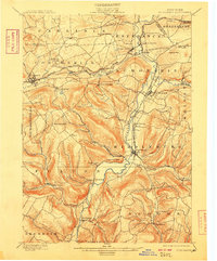
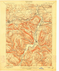
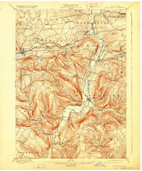
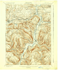
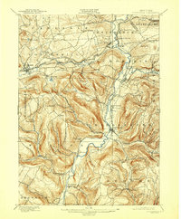
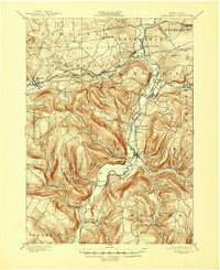
Schoharie Creek dictates the geography of this 1898 survey, carving a deep valley through the northern Catskills foothills. This era is defined by the critical junction of rail and river commerce, where the Middleburg and Schoharie RR connects the interior villages to the larger Delaware and Hudson RR line at Schoharie Junction. The landscape is dotted with small agricultural and industrial hamlets like Barnerville, Breakabeen, and East Cobleskill, each situated near the reliable water power of the local creek system.
Find a feature on this map
59 named features on this map. Tap any name to fly to it.
Don’t see what you’re looking for? This feature index may not catch every label — zoom into the map to look around manually.
Map Details
Editions of this 1900 Schoharie Map
8 editions found
Other maps of this area

1893 · Durham
USGS Topo · 1:62,500

1894 · Durham
USGS Topo · 1:62,500

1895 · Amsterdam
USGS Topo · 1:62,500

1896 · Fonda
USGS Topo · 1:62,500

1898 · Fonda
USGS Topo · 1:62,500

1898 · Canajoharie
USGS Topo · 1:62,500

1898 · Schoharie
USGS Topo · 1:62,500

1900 · Canajoharie
USGS Topo · 1:62,500

1900 · Schoharie
USGS Topo · 1:31,680

1900 · Berne
USGS Topo · 1:62,500