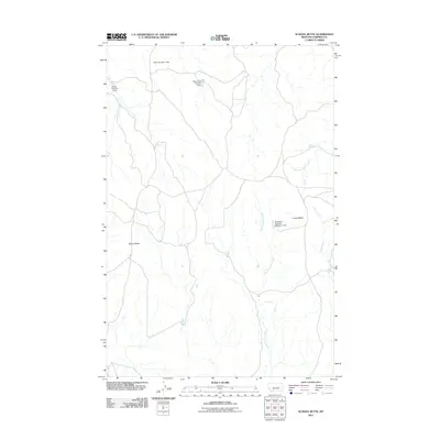
2011 Map of School Butte
USGS Topo · Published 2011About this map
School Butte and Crown Butte dominate the high ground of this Garfield County landscape, overlooking a network of drainages and ranching infrastructure. The area is defined by its water management, featuring several localized earthen structures such as the Glasscock Brothers Number 1 Dam, Emma Number 1 Dam, and the curiously named Blue Drew Number 1 Dam. These features, along with Drew Number 1 Dam, suggest a long-standing history of cattle ranching and land stewardship in this portion of Montana. The natural hydrology is led by Big Porcupine Creek and its tributaries, including Heist Creek and West Fork Basin Creek, which are supplemented by the presence of Scott Springs. This 2011 survey captures the area's geography as a mix of high buttes and seasonal watercourses, reflecting the practical needs of the high plains.
Find a feature on this map
10 named features on this map. Tap any name to fly to it.
Don’t see what you’re looking for? This feature index may not catch every label — zoom into the map to look around manually.
Map Details
Editions of this 2011 School Butte Map
This is the sole edition of this map. No revisions or reprints were ever made.
Other maps of this area

1954 · Jordan
USGS Topo · 1:250,000

1954 · Forsyth
USGS Topo · 1:250,000

1956 · Jordan
USGS Topo · 1:250,000

1957 · Forsyth
USGS Topo · 1:250,000

1958 · Jordan
USGS Topo · 1:250,000

1958 · Forsyth
USGS Topo · 1:250,000

1964 · Jordan
USGS Topo · 1:250,000

1965 · Robertson School
USGS Topo · 1:24,000

1965 · Acorn Flats
USGS Topo · 1:24,000

1965 · Kramer Ranch
USGS Topo · 1:24,000