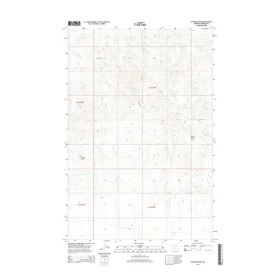
2014 Map of School Butte
USGS Topo · Published 2014About this map
School Butte and Crown Butte define the topography of this Garfield County landscape, standing as prominent landmarks within the high plains. The area is characterized by an intricate drainage system, where the waters of Big Porcupine Creek and its tributaries, including West Fork Basin Creek and Heist Creek, have carved through the terrain. Evidence of water management in this arid ranching country is visible at Scott Springs. This map provides a clear look at the Public Land Survey System grid, specifically detailing portions of t14n r35e, t14n r36e, and adjacent townships. The minimal road network, primarily consisting of Glasscock Road, underscores the remote, open nature of this central Montana region during the early 21st century.
Find a feature on this map
11 named features on this map. Tap any name to fly to it.
Don’t see what you’re looking for? This feature index may not catch every label — zoom into the map to look around manually.
Map Details
Editions of this 2014 School Butte Map
This is the sole edition of this map. No revisions or reprints were ever made.
Other maps of this area

1954 · Jordan
USGS Topo · 1:250,000

1954 · Forsyth
USGS Topo · 1:250,000

1956 · Jordan
USGS Topo · 1:250,000

1957 · Forsyth
USGS Topo · 1:250,000

1958 · Jordan
USGS Topo · 1:250,000

1958 · Forsyth
USGS Topo · 1:250,000

1964 · Jordan
USGS Topo · 1:250,000

1965 · Robertson School
USGS Topo · 1:24,000

1965 · Acorn Flats
USGS Topo · 1:24,000

1965 · Kramer Ranch
USGS Topo · 1:24,000