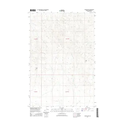
2017 Map of School Butte
USGS Topo · Published 2017About this map
School Butte and Crown Butte dominate the landscape of this Garfield County quadrangle, where the terrain is defined by the headwaters of several drainages. This high plains region is dissected by Big Porcupine Cr and the seasonal flows of Heist Cr and W Fork Basin Cr. A rare reliable water source, Scott Springs, is located in the southeastern portion of the map, providing a vital anchor point in an otherwise arid environment. The map details the Public Land Survey System grid across Townships 13 and 14 North, showing how the land was partitioned for ranching and grazing. The topography is marked by significant elevation changes, from the prominent buttes to the deep-cut creek beds, illustrating the erosional patterns of the Montana prairie.
Find a feature on this map
10 named features on this map. Tap any name to fly to it.
Don’t see what you’re looking for? This feature index may not catch every label — zoom into the map to look around manually.
Map Details
Editions of this 2017 School Butte Map
This is the sole edition of this map. No revisions or reprints were ever made.
Other maps of this area

1954 · Jordan
USGS Topo · 1:250,000

1954 · Forsyth
USGS Topo · 1:250,000

1956 · Jordan
USGS Topo · 1:250,000

1957 · Forsyth
USGS Topo · 1:250,000

1958 · Jordan
USGS Topo · 1:250,000

1958 · Forsyth
USGS Topo · 1:250,000

1964 · Jordan
USGS Topo · 1:250,000

1965 · Robertson School
USGS Topo · 1:24,000

1965 · Acorn Flats
USGS Topo · 1:24,000

1965 · Kramer Ranch
USGS Topo · 1:24,000