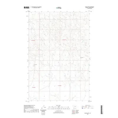
2020 Map of School Butte
USGS Topo · Published 2020About this map
School Butte and Crown Butte rise as prominent landmarks in this Garfield County landscape, characterized by the intricate drainage systems typical of the Montana plains. The terrain is defined by the winding course of Big Porcupine Cr and its tributaries, including W Fork Basin Cr and Heiser Cr. This 2020 survey illustrates the remote character of the region, where water sources like Scott Springs provide critical points of interest in an otherwise high-prairie environment. The map details the Township and Range survey system across T14N and T13N, showing how these administrative boundaries overlay the natural topography of the Big Porcupine drainage basin.
Find a feature on this map
10 named features on this map. Tap any name to fly to it.
Don’t see what you’re looking for? This feature index may not catch every label — zoom into the map to look around manually.
Map Details
Editions of this 2020 School Butte Map
This is the sole edition of this map. No revisions or reprints were ever made.
Other maps of this area

1954 · Jordan
USGS Topo · 1:250,000

1954 · Forsyth
USGS Topo · 1:250,000

1956 · Jordan
USGS Topo · 1:250,000

1957 · Forsyth
USGS Topo · 1:250,000

1958 · Jordan
USGS Topo · 1:250,000

1958 · Forsyth
USGS Topo · 1:250,000

1964 · Jordan
USGS Topo · 1:250,000

1965 · Robertson School
USGS Topo · 1:24,000

1965 · Acorn Flats
USGS Topo · 1:24,000

1965 · Kramer Ranch
USGS Topo · 1:24,000