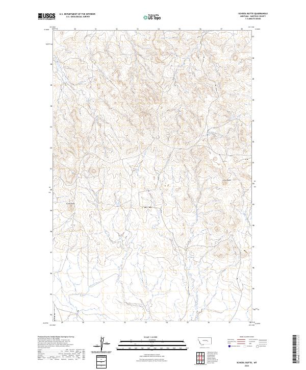
2024 Map of School Butte
USGS Topo · Published 2024About this map
School Butte and Crown Butte rise as prominent geological markers within this sparsely populated expanse of Garfield County. This modern survey, compiled by the U.S. Geological Survey, details a landscape primarily defined by its drainage systems and topographic relief. The watershed is characterized by the southward flow of Big Porcupine Creek and its various tributaries, including the headwaters of Heidt Creek and West Fork Basin Creek.
Find a feature on this map
10 named features on this map. Tap any name to fly to it.
Don’t see what you’re looking for? This feature index may not catch every label — zoom into the map to look around manually.
Map Details
Editions of this 2024 School Butte Map
This is the sole edition of this map. No revisions or reprints were ever made.
Other maps of this area

1954 · Jordan
USGS Topo · 1:250,000

1954 · Forsyth
USGS Topo · 1:250,000

1956 · Jordan
USGS Topo · 1:250,000

1957 · Forsyth
USGS Topo · 1:250,000

1958 · Jordan
USGS Topo · 1:250,000

1958 · Forsyth
USGS Topo · 1:250,000

1964 · Jordan
USGS Topo · 1:250,000

1965 · Robertson School
USGS Topo · 1:24,000

1965 · Acorn Flats
USGS Topo · 1:24,000

1965 · Kramer Ranch
USGS Topo · 1:24,000