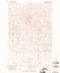
1965 Map of School Butte
USGS Topo · Published 1969About this map
School Butte and the surrounding Garfield County landscape appear here in high relief, dominated by the intricate drainage systems and plateau formations characteristic of this section of Montana. The map traces the winding course of the West Fork Big Porcupine Creek, which serves as a primary geographic anchor for the region. Evidence of early land use and resource management is visible through the presence of several Well sites and isolated water sources like Scott Springs. This 1960s survey preserves the character of the rangeland before modern shifts in ranching infrastructure, capturing named landmarks such as Antelope and Crown Butte that have long served as navigational waypoints for local residents and land managers.
Find a feature on this map
6 named features on this map. Tap any name to fly to it.
Don’t see what you’re looking for? This feature index may not catch every label — zoom into the map to look around manually.
Map Details
Editions of this 1965 School Butte Map
This is the sole edition of this map. No revisions or reprints were ever made.
Other maps of this area

1954 · Jordan
USGS Topo · 1:250,000

1954 · Forsyth
USGS Topo · 1:250,000

1956 · Jordan
USGS Topo · 1:250,000

1957 · Forsyth
USGS Topo · 1:250,000

1958 · Jordan
USGS Topo · 1:250,000

1958 · Forsyth
USGS Topo · 1:250,000

1964 · Jordan
USGS Topo · 1:250,000

1965 · Robertson School
USGS Topo · 1:24,000

1965 · Acorn Flats
USGS Topo · 1:24,000

1965 · Kramer Ranch
USGS Topo · 1:24,000