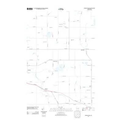
2013 Map of School Hill
USGS Topo · Published 2013About this map
Dairy farming defines the character of this eastern Wisconsin landscape, where several large agricultural operations like Schuler Dairy Farms and Robinway Dairy Farms sit alongside smaller named family properties such as the Schema Farm. Small unincorporated settlements serve as local anchors throughout the township-and-range grid, including School Hill at the junction of County Hwy-X and Wi-149, and the community of Louis Corners further west.
Find a feature on this map
85 named features on this map. Tap any name to fly to it.
Don’t see what you’re looking for? This feature index may not catch every label — zoom into the map to look around manually.
Map Details
Editions of this 2013 School Hill Map
This is the sole edition of this map. No revisions or reprints were ever made.
Other maps of this area

1954 · School Hill
USGS Topo · 1:24,000

1954 · St. Wendel
USGS Topo · 1:24,000

1954 · Howards Grove
USGS Topo · 1:62,500

1954 · Howards Grove
USGS Topo · 1:24,000

1954 · Chilton
USGS Topo · 1:62,500

1954 · Reedsville
USGS Topo · 1:62,500

1954 · Franklin
USGS Topo · 1:24,000

1954 · Kiel
USGS Topo · 1:62,500

1954 · Milwaukee
USGS Topo · 1:250,000

1954 · Manitowoc
USGS Topo · 1:250,000