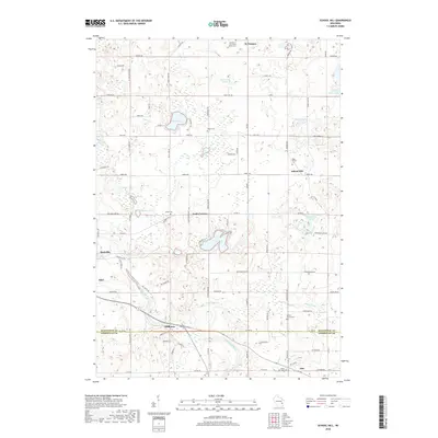
2018 Map of School Hill
USGS Topo · Published 2018About this map
Glacial geology defines the terrain of this 2018 survey, which covers the border of Manitowoc and Sheboygan counties. The landscape is dotted with kettle lakes and wetlands, including Wilke Lake, Cedar Lake, and the Eaton Twin Lakes. The Sheboygan River and the Pigeon River flow through the southern and eastern portions of the quadrangle, respectively, supporting small rural clusters like Millhome and Ada. Small-scale agricultural patterns are evident in the dense network of local roads such as Lax Chapel Rd and Louis Corners Rd.
Find a feature on this map
89 named features on this map. Tap any name to fly to it.
Don’t see what you’re looking for? This feature index may not catch every label — zoom into the map to look around manually.
Map Details
Editions of this 2018 School Hill Map
This is the sole edition of this map. No revisions or reprints were ever made.
Other maps of this area

1954 · School Hill
USGS Topo · 1:24,000

1954 · St. Wendel
USGS Topo · 1:24,000

1954 · Howards Grove
USGS Topo · 1:62,500

1954 · Howards Grove
USGS Topo · 1:24,000

1954 · Chilton
USGS Topo · 1:62,500

1954 · Reedsville
USGS Topo · 1:62,500

1954 · Franklin
USGS Topo · 1:24,000

1954 · Kiel
USGS Topo · 1:62,500

1954 · Milwaukee
USGS Topo · 1:250,000

1954 · Manitowoc
USGS Topo · 1:250,000