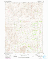
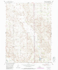
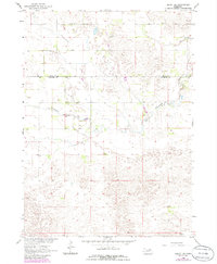
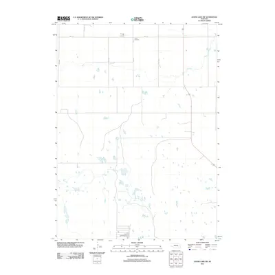
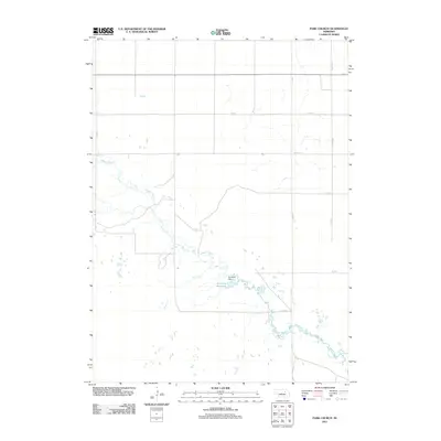
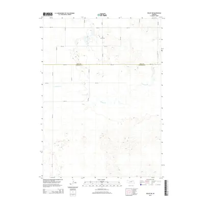
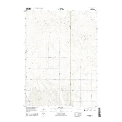
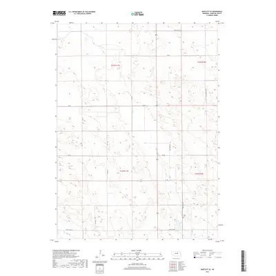
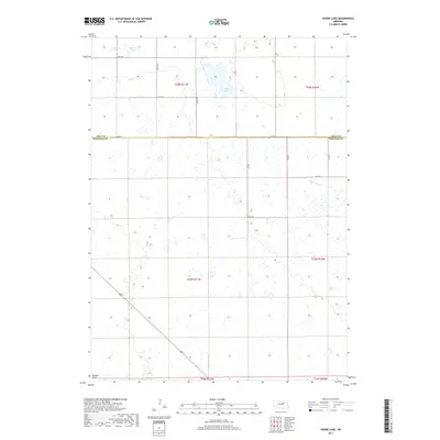
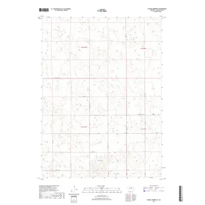
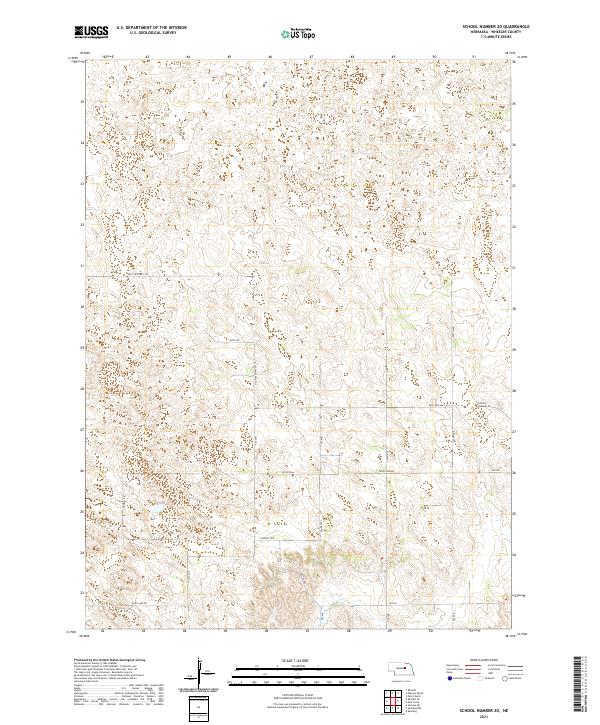
1960 Map of School No. 20
USGS Topo · Published 1993About this map
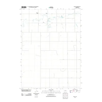
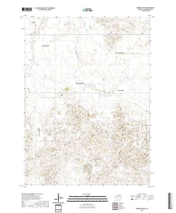
Wheeler County's rural character is defined by a sparse, undulating landscape of hills and depressions in this survey conducted for the development of the Missouri River Basin. The topography reflects the transitional nature of the Sandhills, where the lack of major watercourses or significant town sites emphasizes the isolated placement of community anchors. Two specific education centers, School No 20 and School No 24, appear as primary landmarks along the sectional roads, serving as vital gathering points for the surrounding ranching and farming families. These scattered structures provide rare points of orientation in a region of Nebraska that remained largely undeveloped by industrial or urban expansion through the mid-20th century.
Find a feature on this map
2 named features on this map. Tap any name to fly to it.
Don’t see what you’re looking for? This feature index may not catch every label — zoom into the map to look around manually.
Map Details
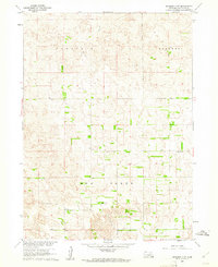
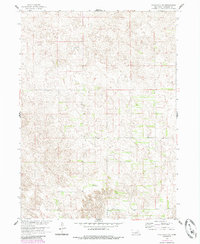
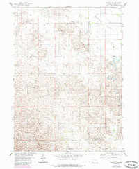
Editions of this 1960 School No. 20 Map
3 editions found
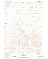
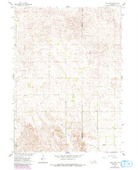
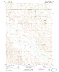
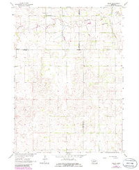
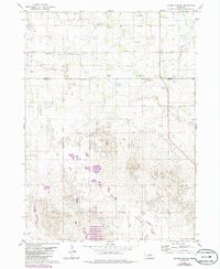
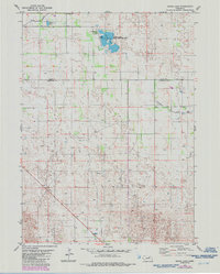
Historical Maps of Wheeler County Through Time
50 maps found
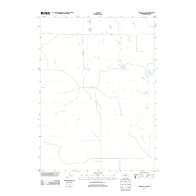
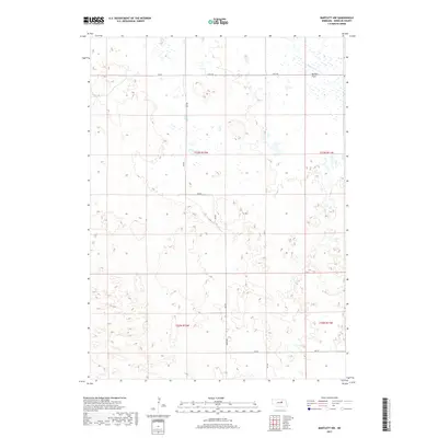
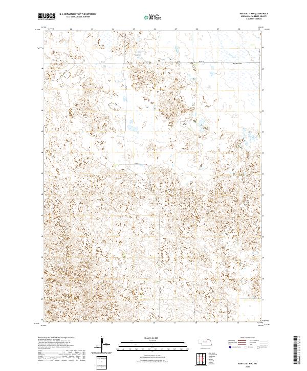
1954 Bartlett NW
Wheeler County, NE
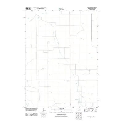
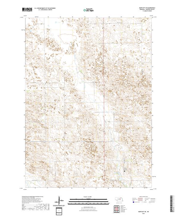
1954 Bartlett SE
Wheeler County, NE
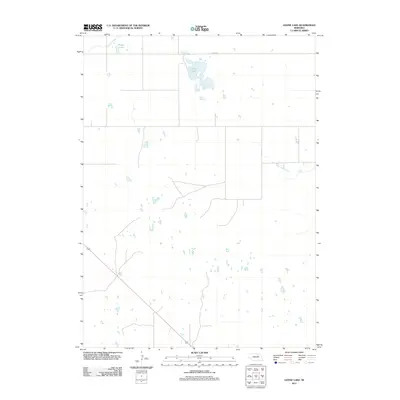
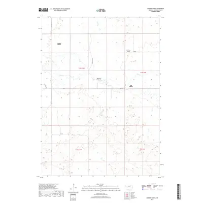
1960 Mignery Ranch
Wheeler County, NE
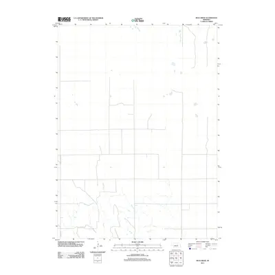
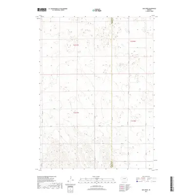
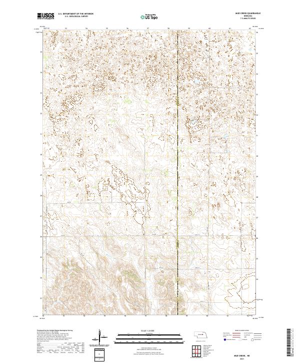
1960 Mud Creek
Wheeler County, NE
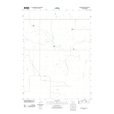
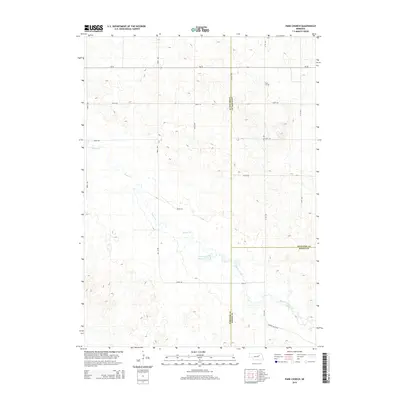
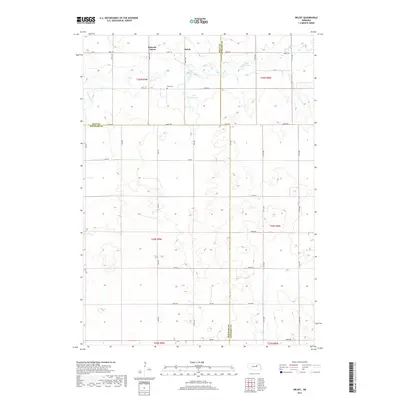
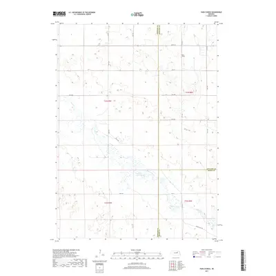
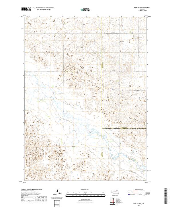
1960 Park Church
Wheeler County, NE
1960 School No. 20
Wheeler County, NE
1963 Deloit SW
Wheeler County, NE
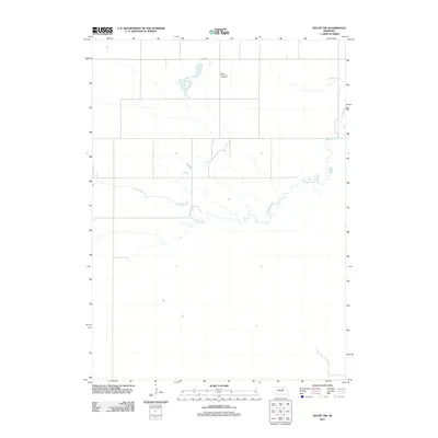
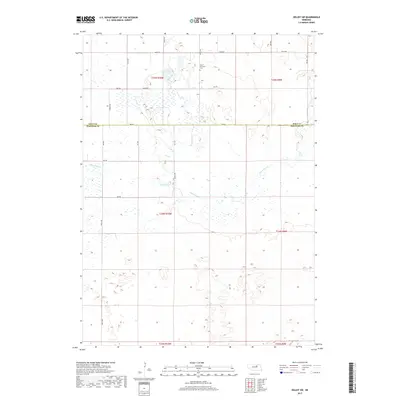
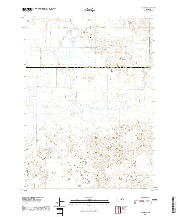
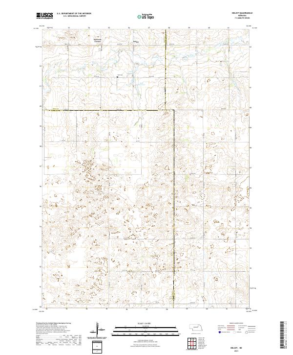
1963 Deloit
Wheeler County, NE
1981 Goose Lake SW
Wheeler County, NE
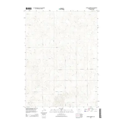
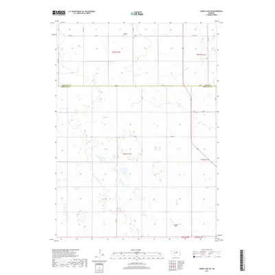
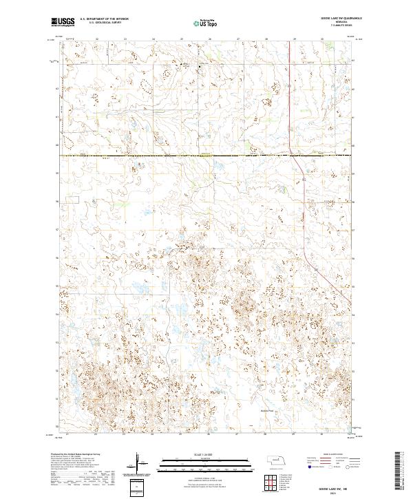
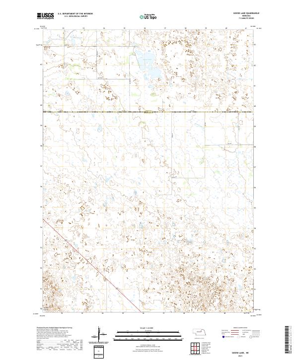
1981 Goose Lake
Wheeler County, NE
2011 Bartlett NW
Wheeler County, NE
2011 Bartlett SE
Wheeler County, NE
2011 Deloit SW
Wheeler County, NE
2011 Deloit
Wheeler County, NE
2011 Goose Lake SW
Wheeler County, NE
2011 Goose Lake
Wheeler County, NE
2011 Mignery Ranch
Wheeler County, NE
2011 Mud Creek
Wheeler County, NE
2011 Park Church
Wheeler County, NE
2011 School Number 20
Wheeler County, NE
2014 Bartlett NW
Wheeler County, NE
2014 Bartlett SE
Wheeler County, NE
2014 Deloit SW
Wheeler County, NE
2014 Deloit
Wheeler County, NE
2014 Goose Lake SW
Wheeler County, NE
2014 Goose Lake
Wheeler County, NE

2014 Mignery Ranch
Wheeler County, NE
2014 Mud Creek
Wheeler County, NE
2014 Park Church
Wheeler County, NE
2014 School Number 20
Wheeler County, NE
2017 Bartlett NW
Wheeler County, NE
2017 Bartlett SE
Wheeler County, NE
2017 Deloit SW
Wheeler County, NE
2017 Deloit
Wheeler County, NE
2017 Goose Lake SW
Wheeler County, NE
2017 Goose Lake
Wheeler County, NE
2017 Mignery Ranch
Wheeler County, NE
2017 Mud Creek
Wheeler County, NE
2017 Park Church
Wheeler County, NE
2017 School Number 20
Wheeler County, NE
2021 Bartlett NW
Wheeler County, NE
2021 Bartlett SE
Wheeler County, NE
2021 Deloit SW
Wheeler County, NE
2021 Deloit
Wheeler County, NE
2021 Goose Lake SW
Wheeler County, NE
2021 Goose Lake
Wheeler County, NE
2021 Mignery Ranch
Wheeler County, NE
2021 Mud Creek
Wheeler County, NE
2021 Park Church
Wheeler County, NE
2021 School Number 20
Wheeler County, NE