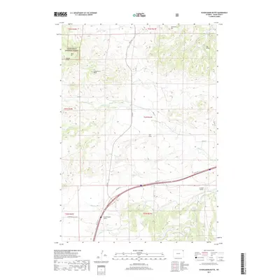
2017 Map of Schoolmarm Butte
USGS Topo · Published 2017About this map
Government Valley lies at the heart of this landscape in eastern Wyoming, where the northeastern slopes of the Black Hills National Forest meet the high plains. The terrain is defined by dramatic geological markers such as Schoolmarm Butte, Table Mtn, and the high peak of Sandstone Mtn. This area is carved by a complex network of ephemeral waterways and draws, including Vore Draw, Eisbuts Draw, and Crooked S Draw, illustrating the erosive character of The Brakes in the northeast. The map traces the essential transport corridor of Old Hwy 14 as it skirts the southern foothills. Water sources like Stotts Spring and the branches of Redwater Cr highlight the vital, scattered natural resources that historically supported ranching and forest management in this corner of Crook County.
Find a feature on this map
29 named features on this map. Tap any name to fly to it.
Don’t see what you’re looking for? This feature index may not catch every label — zoom into the map to look around manually.
Map Details
Editions of this 2017 Schoolmarm Butte Map
This is the sole edition of this map. No revisions or reprints were ever made.
Other maps of this area

1898 · Sundance
USGS Topo · 1:125,000

1901 · Aladdin
USGS Topo · 1:125,000

1902 · Sundance
USGS Topo · 1:125,000

1903 · Aladdin
USGS Topo · 1:125,000

1954 · The Forks
USGS Topo · 1:24,000

1954 · Gillette
USGS Topo · 1:250,000

1955 · Gillette
USGS Topo · 1:250,000

1958 · Gillette
USGS Topo · 1:250,000

1958 · Beulah
USGS Topo · 1:62,500

1958 · Tinton
USGS Topo · 1:62,500