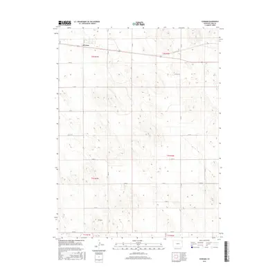
2016 Map of Schramm
USGS Topo · Published 2016About this map
Schramm sits in the northern reaches of this Yuma County landscape, positioned along a transportation corridor that cuts across the high plains. The terrain is characterized by subtle elevation changes and the distinctive Mt Yuma rise in the southern portion of the quadrangle. This 2016 survey illustrates a strictly organized agricultural grid, where the vastness of the Colorado plains is partitioned by an extensive network of section-line roads such as Co Rd 30 and Co Rd L.
Find a feature on this map
25 named features on this map. Tap any name to fly to it.
Don’t see what you’re looking for? This feature index may not catch every label — zoom into the map to look around manually.
Map Details
Editions of this 2016 Schramm Map
This is the sole edition of this map. No revisions or reprints were ever made.
Other maps of this area

1954 · Limon
USGS Topo · 1:250,000

1954 · Sterling
USGS Topo · 1:250,000

1957 · Limon
USGS Topo · 1:250,000

1958 · Limon
USGS Topo · 1:250,000

1958 · Sterling
USGS Topo · 1:250,000

1961 · Eckley
USGS Topo · 1:24,000

1969 · Heartstrong
USGS Topo · 1:24,000

1969 · Vernon NW
USGS Topo · 1:24,000

1969 · Schramm
USGS Topo · 1:24,000

1971 · Yuma NE
USGS Topo · 1:24,000