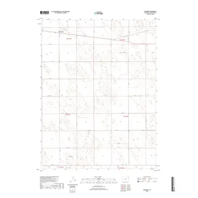
2019 Map of Schramm
USGS Topo · Published 2019About this map
The settlement of Schramm anchors the northern portion of this high plains landscape in Yuma County. The terrain is defined by a rhythmic series of depressions and rises typical of the region, punctuated by Mt Yuma in the southwest. A rigid grid of county roads, including Co Rd 30 and Co Rd 37, divides the land into the systematic townships and ranges of the Public Land Survey System, such as t2n r47w and t1n r46w. This 2019 survey shows the area's continued reliance on a structured transportation network, with U.S. Route 34 providing the primary east-west corridor for the rural community. The map's detail reveals a landscape primarily dedicated to agriculture and grazing, where the sparse placement of named features highlights the isolated character of these eastern Colorado settlements.
Find a feature on this map
27 named features on this map. Tap any name to fly to it.
Don’t see what you’re looking for? This feature index may not catch every label — zoom into the map to look around manually.
Map Details
Editions of this 2019 Schramm Map
This is the sole edition of this map. No revisions or reprints were ever made.
Other maps of this area

1954 · Limon
USGS Topo · 1:250,000

1954 · Sterling
USGS Topo · 1:250,000

1957 · Limon
USGS Topo · 1:250,000

1958 · Limon
USGS Topo · 1:250,000

1958 · Sterling
USGS Topo · 1:250,000

1961 · Eckley
USGS Topo · 1:24,000

1969 · Heartstrong
USGS Topo · 1:24,000

1969 · Vernon NW
USGS Topo · 1:24,000

1969 · Schramm
USGS Topo · 1:24,000

1971 · Yuma NE
USGS Topo · 1:24,000