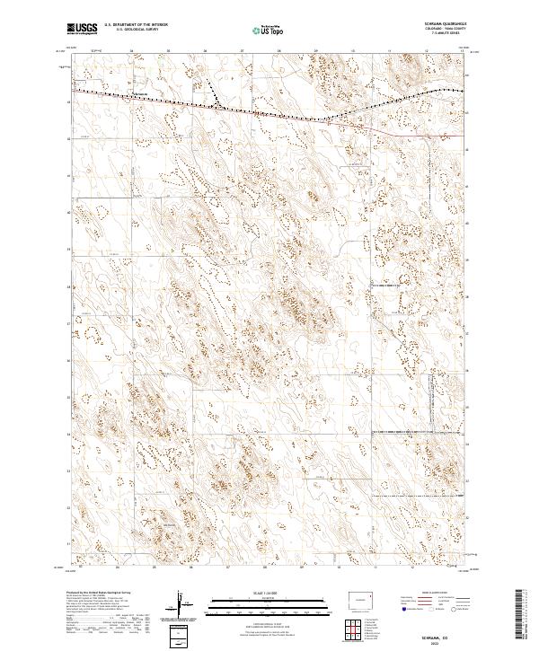
2022 Map of Schramm
USGS Topo · Published 2022About this map
Schramm sits at the northern edge of this high plains landscape in eastern Colorado, serving as a landmark along the highway corridor. The terrain is characterized by the subtle elevations of the eastern plains, punctuated by Mt Yuma in the southwest. This 2022 survey documents a strictly organized grid of county roads, including Co Rd 37 and Co Rd 30, which facilitate movement through the vast agricultural and ranching tracts of Yuma County. The map provides a clear view of the Public Land Survey System divisions, showing the boundaries between t1n r47w and t1n r46w, reflecting the enduring geometric settlement pattern of the American West. The lack of dense development underscores the area's rural character, where large-scale land management and natural topography are the primary features.
Find a feature on this map
18 named features on this map. Tap any name to fly to it.
Don’t see what you’re looking for? This feature index may not catch every label — zoom into the map to look around manually.
Map Details
Editions of this 2022 Schramm Map
This is the sole edition of this map. No revisions or reprints were ever made.
Other maps of this area

1954 · Limon
USGS Topo · 1:250,000

1954 · Sterling
USGS Topo · 1:250,000

1957 · Limon
USGS Topo · 1:250,000

1958 · Limon
USGS Topo · 1:250,000

1958 · Sterling
USGS Topo · 1:250,000

1961 · Eckley
USGS Topo · 1:24,000

1969 · Heartstrong
USGS Topo · 1:24,000

1969 · Vernon NW
USGS Topo · 1:24,000

1969 · Schramm
USGS Topo · 1:24,000

1971 · Yuma NE
USGS Topo · 1:24,000