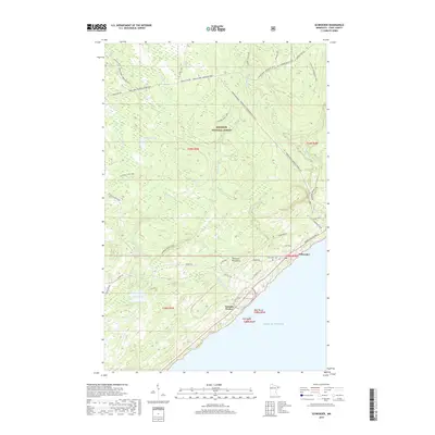
2019 Map of Schroeder
USGS Topo · Published 2019About this map
Lake Superior defines the rugged coastline of Cook County, where the rocky shore meets the dense timber of the Superior National Forest. This 2019 survey captures the developed corridor along Minnesota Highway 61, anchored by the township of Schroeder and the industrial imprint of Taconite Harbor. The landscape is dominated by the Sawtooth Mountains, which force a series of dramatic watercourses toward the lake, including the Cross River, Temperance River, and Two Island River. These rivers dictate the movement of people and resources, with the Superior Hiking Trail and North Shore State Trail weaving through the upland interior. Local history is grounded in sites like the Schroeder Cem, while the inland geography is dotted with remote water bodies such as Dyers Lake, Dogwood Lake, and Richey Lake.
Find a feature on this map
43 named features on this map. Tap any name to fly to it.
Don’t see what you’re looking for? This feature index may not catch every label — zoom into the map to look around manually.
Map Details
Editions of this 2019 Schroeder Map
This is the sole edition of this map. No revisions or reprints were ever made.
Other maps of this area

1954 · Two Harbors
USGS Topo · 1:250,000

1955 · Tofte
USGS Topo · 1:24,000

1955 · Schroeder
USGS Topo · 1:24,000

1955 · Tofte
USGS Topo · 1:62,500

1955 · Cramer
USGS Topo · 1:62,500

1956 · Little Marais
USGS Topo · 1:24,000

1956 · Finland
USGS Topo · 1:62,500

1957 · Two Harbors
USGS Topo · 1:250,000

1958 · Two Harbors
USGS Topo · 1:250,000

1964 · Two Harbors
USGS Topo · 1:250,000