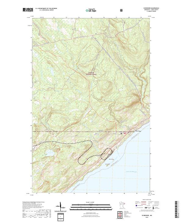
2022 Map of Schroeder
USGS Topo · Published 2022About this map
Schroeder sits at the intersection of land and water along the North Shore of Lake Superior, where the Temperance River and Cross River reach the lake. This portion of the Superior National Forest is defined by its recreation networks and the elevations of the Sawtooth Mountains. The landscape is heavily forested, dotted with interior water bodies such as Dogwood Lake, Dyers Lake, and Ruffy Lake.
Find a feature on this map
40 named features on this map. Tap any name to fly to it.
Don’t see what you’re looking for? This feature index may not catch every label — zoom into the map to look around manually.
Map Details
Editions of this 2022 Schroeder Map
This is the sole edition of this map. No revisions or reprints were ever made.
Other maps of this area

1954 · Two Harbors
USGS Topo · 1:250,000

1955 · Tofte
USGS Topo · 1:24,000

1955 · Schroeder
USGS Topo · 1:24,000

1955 · Tofte
USGS Topo · 1:62,500

1955 · Cramer
USGS Topo · 1:62,500

1956 · Little Marais
USGS Topo · 1:24,000

1956 · Finland
USGS Topo · 1:62,500

1957 · Two Harbors
USGS Topo · 1:250,000

1958 · Two Harbors
USGS Topo · 1:250,000

1964 · Two Harbors
USGS Topo · 1:250,000