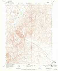
1968 Map of Schroeder Mtn
USGS Topo · Published 1971About this map
Schroeder Mountain and the deep incision of Maggie Canyon define this high-desert terrain during the late 1960s. The landscape reflects a legacy of extraction and ranching infrastructure along the Eureka Co Elko Co line, where the water of Maggie Creek and James Creek supported localized operations. Mining interest is prominent throughout the quadrangle, evidenced by the Good Hope Mine, Queen Ann Mine, and the Copper King Mine, alongside numerous unnamed prospects.
Find a feature on this map
22 named features on this map. Tap any name to fly to it.
Don’t see what you’re looking for? This feature index may not catch every label — zoom into the map to look around manually.
Map Details
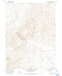
Editions of this 1968 Schroeder Mtn Map
2 editions found
Other maps of this area

1952 · Carlin
USGS Topo · 1:62,500

1955 · Winnemucca
USGS Topo · 1:250,000

1957 · Beowawe
USGS Topo · 1:62,500

1958 · Winnemucca
USGS Topo · 1:250,000

1958 · Huntsman Ranch
USGS Topo · 1:24,000
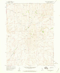
1958 · Swales Mountain
USGS Topo · 1:24,000

1962 · Winnemucca
USGS Topo · 1:250,000

1968 · Rodeo Creek NE
USGS Topo · 1:24,000

1968 · Welches Canyon
USGS Topo · 1:24,000

1968 · Swales Mountain NW
USGS Topo · 1:24,000