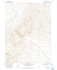
1968 Map of Schroeder Mtn
USGS Topo · Published 1981About this map
Maggie Creek carves a dominant path through this 1968 landscape, marking the border between the high country of Schroeder Mountain and the expansive ranching and mining tracts of the Eureka Co Elko Co line. The map highlights a remote industrial and agricultural corridor where specialized resource extraction is evident at the Good Hope Mine, Queen Ann Mine, and Copper King Mine. This area is characterized by a network of essential water infrastructure in an arid environment, including a prominent Aqueduct, scattered Springs, and a Water Tank near the southern boundary. Rural life and transit are represented by isolated features like Hadleys Windmill, a Corral, and various Jeep Trails that connect these remote outposts across the high desert terrain of the Northern Great Basin.
Find a feature on this map
23 named features on this map. Tap any name to fly to it.
Don’t see what you’re looking for? This feature index may not catch every label — zoom into the map to look around manually.
Map Details
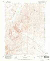
Editions of this 1968 Schroeder Mtn Map
2 editions found
Other maps of this area

1952 · Carlin
USGS Topo · 1:62,500

1955 · Winnemucca
USGS Topo · 1:250,000

1957 · Beowawe
USGS Topo · 1:62,500

1958 · Winnemucca
USGS Topo · 1:250,000

1958 · Huntsman Ranch
USGS Topo · 1:24,000
1958 · Swales Mountain
USGS Topo · 1:24,000

1962 · Winnemucca
USGS Topo · 1:250,000

1968 · Rodeo Creek NE
USGS Topo · 1:24,000

1968 · Welches Canyon
USGS Topo · 1:24,000

1968 · Swales Mountain NW
USGS Topo · 1:24,000