
1958 Map of Huntsman Ranch
USGS Topo · Published 1960About this map
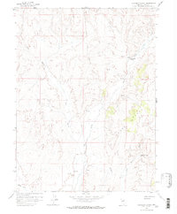
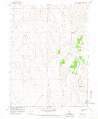
Huntsman Ranch serves as the primary landmark in this arid portion of Elko County, situated near the seasonal drainage of Susie Creek. The landscape is defined by its water sources, which were critical for ranching and survival in the high desert of northern Nevada during the late 1950s. The map identifies several specialized hydrological features, including the Lower Dry Susie Spring and a geothermal area simply labeled Hot Springs near the southern edge. The presence of several Prospect sites throughout the hills indicates the persistent search for mineral wealth that characterized the region's economy alongside livestock raising. This survey, based on aerial photography from 1953 and 1956, documents the network of unimproved roads and gullies like Dry Gulch that connected isolated outposts to the larger Maggie Creek drainage system.
Find a feature on this map
8 named features on this map. Tap any name to fly to it.
Don’t see what you’re looking for? This feature index may not catch every label — zoom into the map to look around manually.
Map Details
Editions of this 1958 Huntsman Ranch Map
3 editions found
Other maps of this area

1952 · Dixie Flats
USGS Topo · 1:62,500

1952 · Carlin
USGS Topo · 1:62,500

1955 · Winnemucca
USGS Topo · 1:250,000

1955 · Elko
USGS Topo · 1:250,000

1958 · Winnemucca
USGS Topo · 1:250,000

1958 · Elko
USGS Topo · 1:250,000

1958 · Hunter
USGS Topo · 1:24,000

1958 · Doby Summit
USGS Topo · 1:24,000
1958 · Swales Mountain
USGS Topo · 1:24,000

1962 · Elko
USGS Topo · 1:250,000