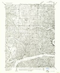
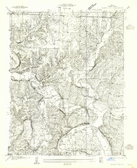
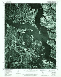
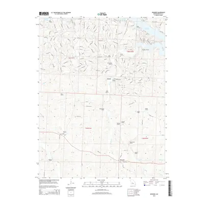
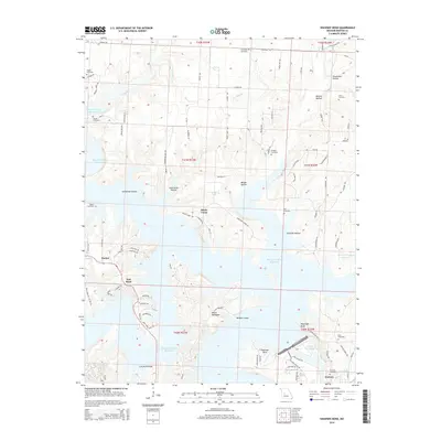
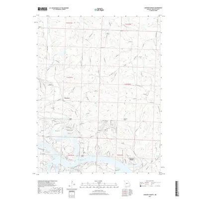
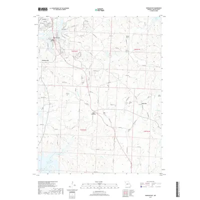
1957 Map of Schuyler
USGS Topo · Published 1957About this map
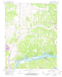
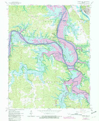
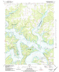
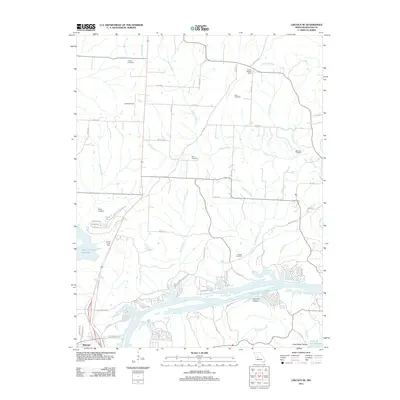
Schuyler stands as the primary community in this portion of Benton County, situated amid a landscape defined by the branching arms of the Lake of the Ozarks. Surveyed in the mid-1930s, the map reveals a rural society organized around a high density of local schools, including McFarland School, Poplar School, and Dillon School, reflecting the educational infrastructure of the early twentieth century. The terrain is deeply incised by numerous waterways such as Cole Camp Creek and Duran Creek, which flow through hollows like Sweetman Hollow. Local family and community landmarks are frequent, including the Pleasant Hill Church and the Bird Cem. Transport in the region is anchored by the Missouri Pacific No 65 Highway, providing a corridor through the undulating hills north of the Little Creek Arm Lake of the Ozarks.
Find a feature on this map
26 named features on this map. Tap any name to fly to it.
Don’t see what you’re looking for? This feature index may not catch every label — zoom into the map to look around manually.
Map Details
Editions of this 1957 Schuyler Map
This is the sole edition of this map. No revisions or reprints were ever made.
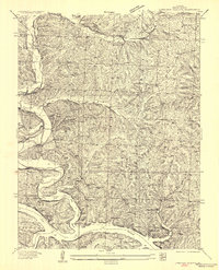
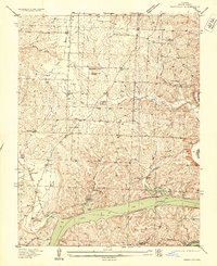
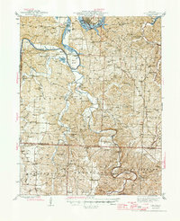
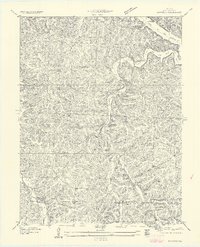
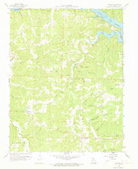
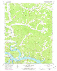
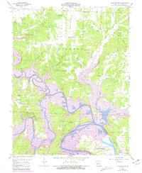
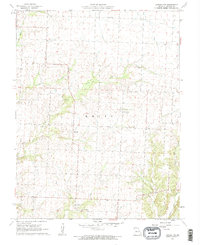
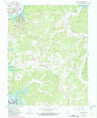
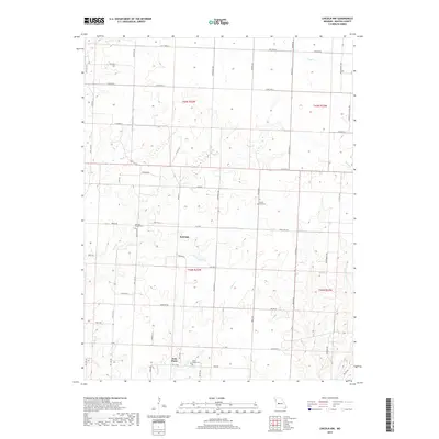
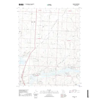
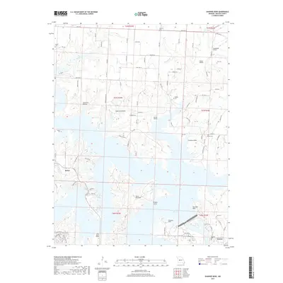
Historical Maps of Warsaw Through Time
53 maps found

1935 Dell
Benton County, MO

1935 Edwards
Benton County, MO
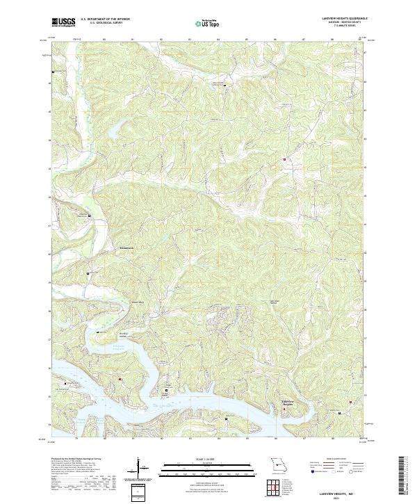
1936 Lakeview Heights
Benton County, MO
1936 Schuyler
Benton County, MO

1936 Shawnee Bend
Benton County, MO
1945 Fristoe
Benton County, MO
1955 Shawnee Bend
Benton County, MO
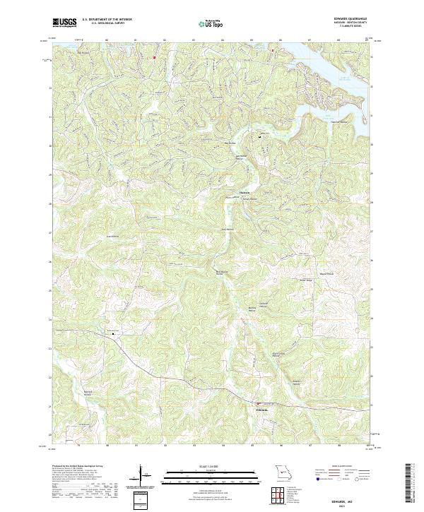
1957 Edwards
Benton County, MO
1957 Schuyler
Benton County, MO
1959 Edwards
Benton County, MO
1959 Lakeview Heights
Benton County, MO
1959 Lincoln SE
Benton County, MO
1959 Shawnee Bend
Benton County, MO
1961 Lincoln NW
Benton County, MO
1964 Warsaw East
Benton County, MO
1965 Warsaw West
Benton County, MO
1980 Lincoln SE
Benton County, MO
1980 Shawnee Bend
Benton County, MO
1980 Warsaw East
Benton County, MO
1980 Warsaw West
Benton County, MO
1983 Edwards
Benton County, MO

1983 Harry S Truman Reservoir
Benton County, MO
1983 Lakeview Heights
Benton County, MO
1983 Lincoln SE
Benton County, MO
1983 Shawnee Bend
Benton County, MO
2011 Edwards
Benton County, MO
2011 Lakeview Heights
Benton County, MO
2011 Lincoln NW
Benton County, MO
2011 Lincoln SE
Benton County, MO
2011 Shawnee Bend
Benton County, MO
2011 Warsaw East
Benton County, MO
2011 Warsaw West
Benton County, MO
2014 Edwards
Benton County, MO
2014 Lakeview Heights
Benton County, MO
2014 Lincoln NW
Benton County, MO
2014 Lincoln SE
Benton County, MO
2014 Shawnee Bend
Benton County, MO
2015 Warsaw East
Benton County, MO
2015 Warsaw West
Benton County, MO
2017 Edwards
Benton County, MO
2017 Lakeview Heights
Benton County, MO
2017 Lincoln NW
Benton County, MO
2017 Lincoln SE
Benton County, MO
2017 Shawnee Bend
Benton County, MO
2017 Warsaw East
Benton County, MO
2017 Warsaw West
Benton County, MO
2021 Edwards
Benton County, MO
2021 Lakeview Heights
Benton County, MO
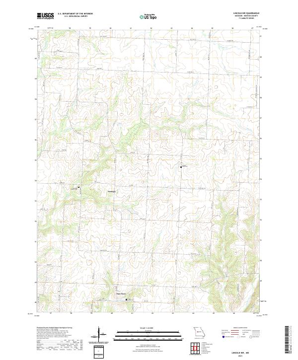
2021 Lincoln NW
Benton County, MO
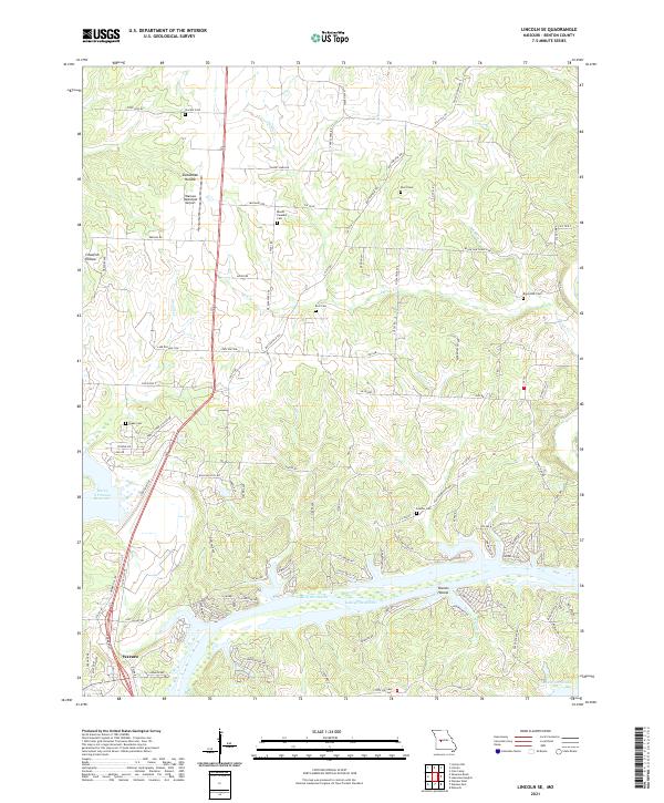
2021 Lincoln SE
Benton County, MO
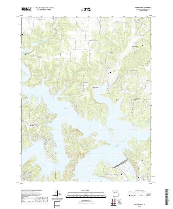
2021 Shawnee Bend
Benton County, MO
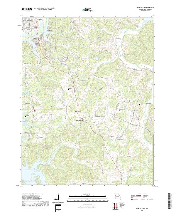
2021 Warsaw East
Benton County, MO
2021 Warsaw West
Benton County, MO