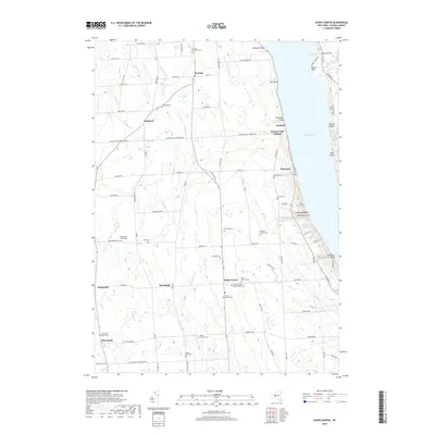
2019 Map of Scipio Center
USGS Topo · Published 2019About this map
Owasco Lake dominates the eastern edge of this landscape, its western shoreline marked by prominent features like Koenig Point and Ensenore Point. The interior upland is defined by a dense network of headwaters and small drainages, including Crane Brook and the winding Big Salmon Cr. This 2019 survey reveals a rural character preserved through scattered hamlets and family farmsteads, particularly around the settlements of Merrifield and Scipio Center.
Find a feature on this map
90 named features on this map. Tap any name to fly to it.
Don’t see what you’re looking for? This feature index may not catch every label — zoom into the map to look around manually.
Map Details
Editions of this 2019 Scipio Center Map
This is the sole edition of this map. No revisions or reprints were ever made.
Other maps of this area

1898 · Moravia
USGS Topo · 1:62,500

1899 · Auburn
USGS Topo · 1:62,500

1899 · Skaneateles
USGS Topo · 1:62,500

1902 · Skaneateles
USGS Topo · 1:62,500

1902 · Moravia
USGS Topo · 1:62,500

1902 · Genoa
USGS Topo · 1:62,500

1902 · Auburn
USGS Topo · 1:62,500

1942 · Sheldrake
USGS Topo · 1:24,000

1942 · Genoa
USGS Topo · 1:24,000

1943 · Moravia
USGS Topo · 1:31,680