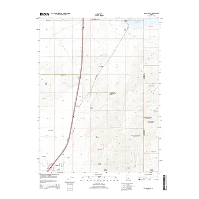
2014 Map of Scipio North
USGS Topo · Published 2014About this map
Scipio anchors the southern edge of this survey, where the grid of residential streets meets the agricultural expanse of Scipio Valley. The landscape is defined by the intersection of three counties—Millard, Juab, and Sanpete—creating a complex web of boundaries that follow the high ridges of Badeau Ridge and the Low Hills. To the northeast, the Sevier River flows into the Sevier Bridge Reservoir, a critical water source for the region's arid canyonlands. Historical transportation routes, including Old US-91 and the Old Yuba Dam Rd, trace the natural contours of the terrain, bypassing steep features like Jakes Canyon and Big Hollow. For those exploring local family histories, the Scipio Cem and named landmarks such as Dick and Dalton Flat provide specific geographic ties to the area's early settlement era.
Find a feature on this map
39 named features on this map. Tap any name to fly to it.
Don’t see what you’re looking for? This feature index may not catch every label — zoom into the map to look around manually.
Map Details
Editions of this 2014 Scipio North Map
This is the sole edition of this map. No revisions or reprints were ever made.
Other maps of this area

1885 · Manti
USGS Topo · 1:250,000

1885 · Sevier Desert
USGS Topo · 1:250,000

1895 · Manti
USGS Topo · 1:250,000

1952 · Scipio North
USGS Topo · 1:62,500

1953 · Delta
USGS Topo · 1:250,000

1956 · Price
USGS Topo · 1:250,000

1958 · Delta
USGS Topo · 1:250,000

1960 · Price
USGS Topo · 1:250,000

1962 · Price
USGS Topo · 1:250,000

1962 · Delta
USGS Topo · 1:250,000