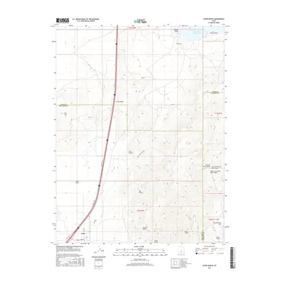
2017 Map of Scipio North
USGS Topo · Published 2017About this map
Scipio serves as the focal point for this 2017 survey, located at the southern edge of the Scipio Valley. The settlement is bordered by the Scipio Cem to its north, reflecting its role as a regional anchor in this part of Millard County. The map documents a landscape defined by sharp transitions from the valley floor to the high ridges, where features like Badeau Ridge and The Cove overlook the Sevier Bridge Reservoir in the northeast corner. Modern infrastructure follows historical routes, with Old Hwy 91 and a network of frontage roads paralleling the interstate corridor.
Find a feature on this map
35 named features on this map. Tap any name to fly to it.
Don’t see what you’re looking for? This feature index may not catch every label — zoom into the map to look around manually.
Map Details
Editions of this 2017 Scipio North Map
This is the sole edition of this map. No revisions or reprints were ever made.
Other maps of this area

1885 · Manti
USGS Topo · 1:250,000

1885 · Sevier Desert
USGS Topo · 1:250,000

1895 · Manti
USGS Topo · 1:250,000

1952 · Scipio North
USGS Topo · 1:62,500

1953 · Delta
USGS Topo · 1:250,000

1956 · Price
USGS Topo · 1:250,000

1958 · Delta
USGS Topo · 1:250,000

1960 · Price
USGS Topo · 1:250,000

1962 · Price
USGS Topo · 1:250,000

1962 · Delta
USGS Topo · 1:250,000