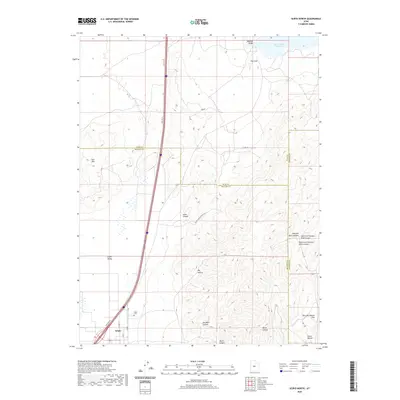
2020 Map of Scipio North
USGS Topo · Published 2020About this map
The town of Scipio serves as the gateway to the high desert terrain where the Scipio Valley meets the rising slopes of the Pavant Range. This 2020 survey records the intricate intersection of transportation and topography, where Old Hwy 91 and modern thoroughfares like N State St skirt the edge of the valley floor. For those researching local families, the Scipio Cem is clearly identified north of the main settlement area near Round Valley Cr.
Find a feature on this map
25 named features on this map. Tap any name to fly to it.
Don’t see what you’re looking for? This feature index may not catch every label — zoom into the map to look around manually.
Map Details
Editions of this 2020 Scipio North Map
This is the sole edition of this map. No revisions or reprints were ever made.
Other maps of this area

1885 · Manti
USGS Topo · 1:250,000

1885 · Sevier Desert
USGS Topo · 1:250,000

1895 · Manti
USGS Topo · 1:250,000

1952 · Scipio North
USGS Topo · 1:62,500

1953 · Delta
USGS Topo · 1:250,000

1956 · Price
USGS Topo · 1:250,000

1958 · Delta
USGS Topo · 1:250,000

1960 · Price
USGS Topo · 1:250,000

1962 · Price
USGS Topo · 1:250,000

1962 · Delta
USGS Topo · 1:250,000