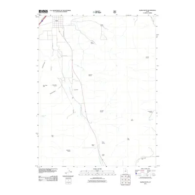
2011 Map of Scipio South
USGS Topo · Published 2011About this map
Scipio marks the northern entry to a high desert landscape dominated by the broad expanse of Round Valley. This 2011 survey reveals a geography defined by traditional livestock corridors and water management, where the drainage of Round Valley Creek connects various canyons and draws. The grid of Scipio transitions into a network of ranch and mountain roads like Japs Valley Rd and N 8600 East St, which navigate the foothills and passes.
Find a feature on this map
31 named features on this map. Tap any name to fly to it.
Don’t see what you’re looking for? This feature index may not catch every label — zoom into the map to look around manually.
Map Details
Editions of this 2011 Scipio South Map
This is the sole edition of this map. No revisions or reprints were ever made.
Other maps of this area

1885 · Manti
USGS Topo · 1:250,000

1885 · Sevier Desert
USGS Topo · 1:250,000

1895 · Manti
USGS Topo · 1:250,000

1952 · Scipio North
USGS Topo · 1:62,500

1953 · Delta
USGS Topo · 1:250,000

1956 · Price
USGS Topo · 1:250,000

1958 · Delta
USGS Topo · 1:250,000

1960 · Price
USGS Topo · 1:250,000

1962 · Price
USGS Topo · 1:250,000

1962 · Delta
USGS Topo · 1:250,000