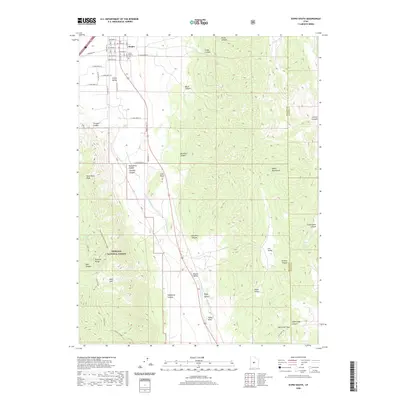
2020 Map of Scipio South
USGS Topo · Published 2020About this map
The town of Scipio serves as the focal point for this landscape, where the grid of its residential streets transitions into the agricultural expanses of Scipio Valley. This 2020 map documents the community's layout, including the Scipio Pioneer Cem and the surrounding irrigation patterns. To the south, the terrain rises sharply into the Pahvant Range, part of the Fishlake National Forest, where steep canyons like Ebbs Canyon and Crooked Canyon carve into the highlands. The geography is defined by the contrast between these high peaks, including Noon Rock Peak, and the basins of Round Valley and Little Valley to the east. Water sources such as Wills Hole and Upper Ebbs Spring are noted within the forest boundaries, while the eastern edge of the quadrangle follows the Valley Mountains along the border of Millard and Sanpete counties.
Find a feature on this map
50 named features on this map. Tap any name to fly to it.
Don’t see what you’re looking for? This feature index may not catch every label — zoom into the map to look around manually.
Map Details
Editions of this 2020 Scipio South Map
This is the sole edition of this map. No revisions or reprints were ever made.
Other maps of this area

1885 · Manti
USGS Topo · 1:250,000

1885 · Sevier Desert
USGS Topo · 1:250,000

1895 · Manti
USGS Topo · 1:250,000

1952 · Scipio North
USGS Topo · 1:62,500

1953 · Delta
USGS Topo · 1:250,000

1956 · Price
USGS Topo · 1:250,000

1958 · Delta
USGS Topo · 1:250,000

1960 · Price
USGS Topo · 1:250,000

1962 · Price
USGS Topo · 1:250,000

1962 · Delta
USGS Topo · 1:250,000