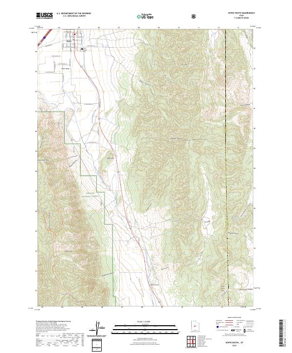
2023 Map of Scipio South
USGS Topo · Published 2023About this map
Scipio anchors the northwest corner of this terrain, situated where the broad Scipio Valley meets the rising slopes of the Valley Mountains. This high-desert landscape is defined by the drainage of Round Valley Creek as it moves south into Round Valley. For genealogists, the Scipio Pioneer Cemetery provides a focal point for early settlement history in the region. To the west, the topography shifts abruptly into the Pahvant Range, part of the Fishlake National Forest, where named features like Noon Rock Peak and Wills Hole mark the high country. The eastern portion of the map is dominated by a complex system of canyons, including Basin Canyon and Lowrys Canyon, which cut through the mountain front. This area remains a vital corridor for travel, with Lone Cedar Pass providing a noted crossing between the peaks toward the Millard and Sanpete county line.
Find a feature on this map
42 named features on this map. Tap any name to fly to it.
Don’t see what you’re looking for? This feature index may not catch every label — zoom into the map to look around manually.
Map Details
Editions of this 2023 Scipio South Map
This is the sole edition of this map. No revisions or reprints were ever made.
Other maps of this area

1885 · Manti
USGS Topo · 1:250,000

1885 · Sevier Desert
USGS Topo · 1:250,000

1895 · Manti
USGS Topo · 1:250,000

1952 · Scipio North
USGS Topo · 1:62,500

1953 · Delta
USGS Topo · 1:250,000

1956 · Price
USGS Topo · 1:250,000

1958 · Delta
USGS Topo · 1:250,000

1960 · Price
USGS Topo · 1:250,000

1962 · Price
USGS Topo · 1:250,000

1962 · Delta
USGS Topo · 1:250,000