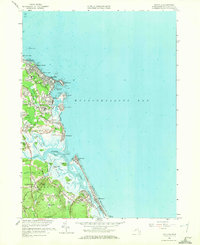
1961 Map of Scituate
USGS Topo · Published 1972About this map
The coastal village of Scituate and the adjacent shoreline of Massachusetts Bay define this 1961 revision, showcasing a landscape where maritime history meets mid-century suburbanization. The map captures the distinctive series of headlands from First Cliff down to Fourth Cliff, which protect Scituate Harbor and the mouth of the North River. Significant local landmarks include the Wampatuck School and the Meeting House Lane Cemetery, alongside utility infrastructure like the Pumping Station and the Hatherly Beach Tower.
Find a feature on this map
74 named features on this map. Tap any name to fly to it.
Don’t see what you’re looking for? This feature index may not catch every label — zoom into the map to look around manually.
Map Details
Editions of this 1961 Scituate Map
2 editions found
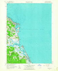
Other maps of this area

1885 · Abington
USGS Topo · 1:62,500

1885 · Duxbury
USGS Topo · 1:62,500

1888 · Duxbury
USGS Topo · 1:62,500

1888 · Abington
USGS Topo · 1:62,500

1892 · Boston Bay
USGS Topo · 1:62,500

1893 · Abington
USGS Topo · 1:62,500

1893 · Duxbury
USGS Topo · 1:62,500

1903 · Boston Bay
USGS Topo · 1:62,500

1918 · Duxbury
USGS Topo · 1:62,500

1920 · Abington
USGS Topo · 1:62,500