
1973 Map of Scobey NW
USGS Topo · Published 1976About this map
The Canada United States border defines the northern edge of this northern Montana landscape, where the Saskatchewan Montana line marks the transition into the Canadian plains. The terrain is dominated by the winding path of the East Fork Poplar River, which carves a distinct valley through the prairie. Agricultural activity is evident through the presence of numerous Storage Bins and isolated wells scattered across the high ground. Community life in this rural corner of Daniels County is anchored by the St Michaels Ch and the adjacent St Michaels Cem, which serve as primary landmarks for local history and genealogy. Several small waterways, including Outlet Creek and a natural Spring, provide the essential drainage and water sources for the surrounding ranching and farming operations during the early 1970s.
Find a feature on this map
10 named features on this map. Tap any name to fly to it.
Don’t see what you’re looking for? This feature index may not catch every label — zoom into the map to look around manually.
Map Details
Editions of this 1973 Scobey NW Map
This is the sole edition of this map. No revisions or reprints were ever made.
Other maps of this area

1954 · Wolf Point
USGS Topo · 1:250,000

1958 · Wolf Point
USGS Topo · 1:250,000

1973 · Madoc
USGS Topo · 1:24,000

1973 · Scobey
USGS Topo · 1:24,000

1973 · Four Buttes NE
USGS Topo · 1:24,000

1973 · Si Merrell Slough
USGS Topo · 1:24,000

1973 · Four Buttes
USGS Topo · 1:24,000

1983 · Scobey
USGS Topo · 1:100,000
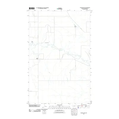
2011 · Four Buttes
USGS Topo · 1:24,000
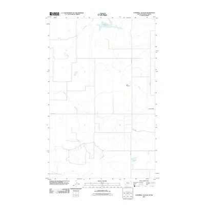
2011 · Si Merrell Slough
USGS Topo · 1:24,000