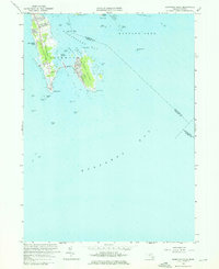
1962 Map of Sconticut Neck
USGS Topo · Published 1976About this map
Sconticut Neck extends into the waters of Nasketucket Bay and Buzzards Bay, revealing a coastal landscape defined by its residential clusters and maritime hazards. In the early 1960s, development is concentrated along Sconticut Neck Road and on West Island, which is connected to the mainland by a prominent Causeway. The shoreline is punctuated by numerous small landforms and navigational aids, from Silver Shell Beach in the north to the southern tip at Wilbur Point.
Find a feature on this map
44 named features on this map. Tap any name to fly to it.
Don’t see what you’re looking for? This feature index may not catch every label — zoom into the map to look around manually.
Map Details
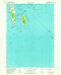
Editions of this 1962 Sconticut Neck Map
2 editions found
Other maps of this area

1885 · New Bedford
USGS Topo · 1:62,500

1886 · Falmouth
USGS Topo · 1:62,500

1887 · Gay Head
USGS Topo · 1:62,500

1888 · New Bedford
USGS Topo · 1:62,500

1888 · Falmouth
USGS Topo · 1:62,500

1889 · Gay Head
USGS Topo · 1:62,500

1893 · Gay Head
USGS Topo · 1:62,500

1893 · Falmouth
USGS Topo · 1:62,500

1893 · New Bedford
USGS Topo · 1:62,500

1915 · Falmouth
USGS Topo · 1:62,500