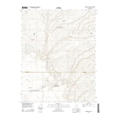
2014 Map of Scorpion Gulch
USGS Topo · Published 2014About this map
The Escalante River carves a deep, sinuous path through this section of the Glen Canyon National Recreation Area, defining the canyon country on the border of Kane and Garfield counties. This 2014 survey captures the intricate drainage network of Moody Cr, which feeds into the river system through several prominent landforms including Middle Moody Canyon and East Moody Canyon. These narrow, winding corridors provide a stark contrast to the high, flat plateaus like Baker Bench and East Baker Bench that overlook the river valley from the west.
Find a feature on this map
14 named features on this map. Tap any name to fly to it.
Don’t see what you’re looking for? This feature index may not catch every label — zoom into the map to look around manually.
Map Details
Editions of this 2014 Scorpion Gulch Map
This is the sole edition of this map. No revisions or reprints were ever made.
Other maps of this area

1886 · Escalante
USGS Topo · 1:250,000

1886 · Henry Mountains
USGS Topo · 1:250,000

1892 · Henry Mountains
USGS Topo · 1:250,000

1953 · Circle Cliffs 4 NW
USGS Topo · 1:24,000

1953 · Mt Pennell 3 NW
USGS Topo · 1:24,000

1953 · Mt Pennell 3 SW
USGS Topo · 1:24,000

1953 · Circle Cliffs 4 NE
USGS Topo · 1:24,000

1953 · Circle Cliffs 4 SW
USGS Topo · 1:24,000

1953 · The Rincon
USGS Topo · 1:62,500

1953 · Hall Mesa
USGS Topo · 1:62,500