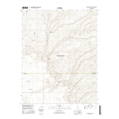
2017 Map of Scorpion Gulch
USGS Topo · Published 2017About this map
The Escalante River carves a complex, winding path through this corner of the Glen Canyon National Recreation Area, defining the boundary between the high plateaus and the deep drainage systems of Southern Utah. This 2017 survey captures a landscape of extreme relief, where the river's tight meanders are flanked by dramatic geological formations like Scorpion Gulch and the broad, flat expanses of Baker Bench and East Baker Bench. The map illustrates the transition from high-desert benches down into the intricate gorge systems of Middle Moody Canyon and East Moody Canyon. These drainages represent the raw erosional forces that have shaped the Colorado Plateau. The lack of significant road infrastructure or permanent settlements underscores the wilderness character of this region, preserved for its unique topography and geologic record.
Find a feature on this map
13 named features on this map. Tap any name to fly to it.
Don’t see what you’re looking for? This feature index may not catch every label — zoom into the map to look around manually.
Map Details
Editions of this 2017 Scorpion Gulch Map
This is the sole edition of this map. No revisions or reprints were ever made.
Other maps of this area

1886 · Escalante
USGS Topo · 1:250,000

1886 · Henry Mountains
USGS Topo · 1:250,000

1892 · Henry Mountains
USGS Topo · 1:250,000

1953 · Circle Cliffs 4 NW
USGS Topo · 1:24,000

1953 · Mt Pennell 3 NW
USGS Topo · 1:24,000

1953 · Mt Pennell 3 SW
USGS Topo · 1:24,000

1953 · Circle Cliffs 4 NE
USGS Topo · 1:24,000

1953 · Circle Cliffs 4 SW
USGS Topo · 1:24,000

1953 · The Rincon
USGS Topo · 1:62,500

1953 · Hall Mesa
USGS Topo · 1:62,500