
1981 Map of Scossa
USGS Topo · Published 1982About this map
The Scossa mining district and high desert basins of Pershing County are captured here following a 1970s field survey. This arid landscape is defined by the elevation changes between the Antelope Range and the Majuba Mountains, where water sources like Moonshine Spring and Cedar Springs were vital for both early prospecting and livestock. The settlement of Scossa, positioned near several Mine and Prospects symbols, represents the typical boom-and-bust cycle of Nevada silver and gold hunting. Further south, Abel Camp and its associated Abel Camp Spring mark a smaller focal point of activity connected by rugged 4wd tracks. The presence of Imlay Summit and Antelope Summit illustrates the topographical challenges faced by those navigating the territory before the modern highway era.
Find a feature on this map
16 named features on this map. Tap any name to fly to it.
Don’t see what you’re looking for? This feature index may not catch every label — zoom into the map to look around manually.
Map Details
Editions of this 1981 Scossa Map
This is the sole edition of this map. No revisions or reprints were ever made.
Other maps of this area

1931 · Lovelock
USGS Topo · 1:250,000

1935 · Lovelock
USGS Topo · 1:250,000

1955 · Lovelock
USGS Topo · 1:250,000

1959 · Lovelock
USGS Topo · 1:250,000

1971 · Majuba Mtn
USGS Topo · 1:24,000

1971 · Poker Brown
USGS Topo · 1:24,000
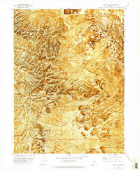
1971 · Long Canyon
USGS Topo · 1:24,000
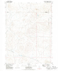
1981 · Sawtooth Knob
USGS Topo · 1:24,000

1981 · Placerites
USGS Topo · 1:24,000
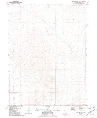
1981 · Poker Brown Gap
USGS Topo · 1:24,000