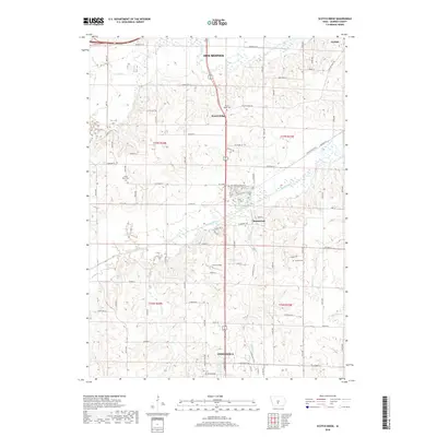
2018 Map of Scotch Ridge
USGS Topo · Published 2018About this map
Scotch Ridge and the nearby village of Summerset occupy the central corridor of this 2018 survey, which captures the suburban and rural landscape between the southern edge of Des Moines and the northern reaches of Indianola. The drainage patterns of the North River and Middle River dominate the topography, creating a series of ridges that historically dictated the placement of settlements and burial grounds. Genealogists will find several well-preserved landmarks, including Scotch Ridge Cem, North River Cem, and Laverty Cem. The map also documents the transition from industry to recreation, shown by the Coal Miner's Daughter site near the path of the Summerset Trail, which follows an old railroad alignment. This transition reflects the evolution of Warren County from a coal-producing region to a residential and recreational extension of the state capital.
Find a feature on this map
81 named features on this map. Tap any name to fly to it.
Don’t see what you’re looking for? This feature index may not catch every label — zoom into the map to look around manually.
Map Details
Editions of this 2018 Scotch Ridge Map
This is the sole edition of this map. No revisions or reprints were ever made.
Other maps of this area

1905 · Des Moines
USGS Topo · 1:62,500

1907 · Des Moines
USGS Topo · 1:62,500

1910 · Milo
USGS Topo · 1:62,500

1930 · Mitchellville
USGS Topo · 1:62,500

1931 · Indianola
USGS Topo · 1:62,500

1954 · Des Moines
USGS Topo · 1:250,000

1956 · Des Moines
USGS Topo · 1:250,000

1956 · Des Moines SW
USGS Topo · 1:24,000

1956 · Des Moines SE
USGS Topo · 1:24,000

1956 · Des Moines
USGS Topo · 1:62,500