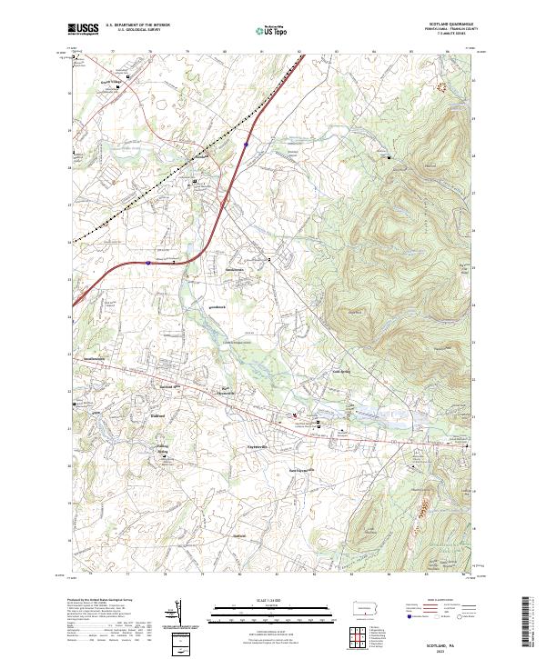
2023 Map of Scotland
USGS Topo · Published 2023About this map
Conococheague Creek winds through the central valley of this Franklin County landscape, serving as a primary drainage for a region defined by its numerous historic congregations and burial grounds. The settlement pattern clusters around established routes like Lincoln Way E, with clusters of development at Fayetteville and Scotland. This area is a significant focal point for genealogical research, featuring numerous local cemeteries such as the Witwer Farm Graveyard, Mentzers Graveyard, and the Greenvillage Lutheran Cem.
Find a feature on this map
67 named features on this map. Tap any name to fly to it.
Don’t see what you’re looking for? This feature index may not catch every label — zoom into the map to look around manually.
Map Details
Editions of this 2023 Scotland Map
This is the sole edition of this map. No revisions or reprints were ever made.
Other maps of this area

1902 · Chambersburg
USGS Topo · 1:62,500

1909 · Fairfield
USGS Topo · 1:62,500

1919 · Newville
USGS Topo · 1:62,500

1923 · Shippensburg
USGS Topo · 1:62,500

1942 · Hagerstown
USGS Topo · 1:125,000

1942 · Gettysburg
USGS Topo · 1:125,000

1943 · Hagerstown
USGS Topo · 1:125,000

1943 · Chambersburg
USGS Topo · 1:62,500

1943 · Shippensburg
USGS Topo · 1:62,500

1944 · Scotland
USGS Topo · 1:31,680
Featured Places
- Chambersburg, PA
- Fayetteville, Greene Township
- Guilford Township, PA
- Scotland, Greene Township
- Southampton Township, PA