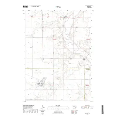
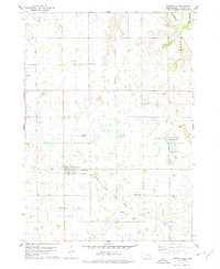
2017 Map of Scotland
USGS Topo · Published 2017About this map
Scotland serves as the primary hub for this portion of Bon Homme County, situated where Dawson Cr meanders south toward Lake Henry. The town's grid is well-defined by streets such as Washington St and Main St, while Burke Field sits on the northwestern edge of the settlement. North of town, the Rose Hill Cem-Saint George Catholic Cem provides a significant touchstone for genealogical research in the area.
Find a feature on this map
46 named features on this map. Tap any name to fly to it.
Don’t see what you’re looking for? This feature index may not catch every label — zoom into the map to look around manually.
Map Details
Editions of this 2017 Scotland Map
This is the sole edition of this map. No revisions or reprints were ever made.
Other maps of this area
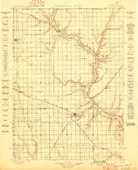
1898 · Olivet
USGS Topo · 1:125,000

1955 · Sioux Falls
USGS Topo · 1:250,000
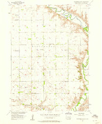
1957 · Tschetter Colony
USGS Topo · 1:24,000
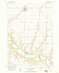
1957 · Menno
USGS Topo · 1:24,000
1957 · Wolf Creek
USGS Topo · 1:24,000
1957 · Scotland
USGS Topo · 1:24,000

1958 · Sioux Falls
USGS Topo · 1:250,000
1978 · Tripp SE
USGS Topo · 1:24,000
1978 · Kloucek Lake
USGS Topo · 1:24,000
1978 · Lesterville
USGS Topo · 1:24,000