Loading...
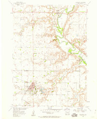
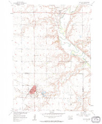
Loading map...1957 Map of Scotland
USGS Topo · Published 1959About this map
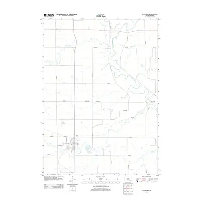
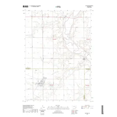
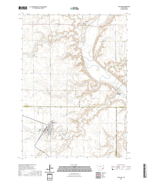
Scotland serves as the primary hub in this mid-century survey of the eastern plains of South Dakota, where the intersection of the C M St P & P railroad and several county-line boundaries defines the local geography. The town site is notably developed with a Fairground, Swimming Pool, and water features including Lake Henry and Dawson Creek. Outside the main settlement, the landscape transitions into the Capital Hills and the meandering valley of the James River.
Find a feature on this map
26 named features on this map. Tap any name to fly to it.
Don’t see what you’re looking for? This feature index may not catch every label — zoom into the map to look around manually.
Map Details
Date Portrayed1957
Date Published1959
PublisherU.S. Geological Survey
Map TypeTopographic
Scale1:24,000
Physical Dimensions22 x 26.8 inches
Editions of this 1957 Scotland Map
2 editions found
Historical Maps of Scotland Through Time
5 maps found
Featured Locations
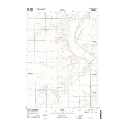
- Capital Township, SD
- Scotland Township, SD
- Odessa Township, SD
- Olivet, Capital Township
- Scotland, Scotland Township
Source Details
SourceU.S. Geological Survey
CopyrightPublic Domain