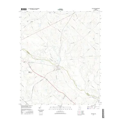
2017 Map of Scotland
USGS Topo · Published 2017About this map
The Little Ocmulgee River carves a winding path across this landscape, defining the jagged boundary between Wheeler and Telfair counties. The settlement of Scotland sits at a crossroads near the center of the sheet, where Main St and 1st Ave meet the rail corridor. Further north, the small communities of Erick and Avants are linked by a network of rural routes like Erick Rd and Little Rock Rd. Genealogy researchers will find several family-named burial sites across the terrain, including Hinson Cem and McDuffie Cem. The region's hydrology is characterized by numerous small bodies of water such as Cleggs Lake, Stenson Lake, and Talmadge Lake, interspersed with drainage creeks like Sugar Creek and Eddards Cr that feed into the river system.
Find a feature on this map
75 named features on this map. Tap any name to fly to it.
Don’t see what you’re looking for? This feature index may not catch every label — zoom into the map to look around manually.
Map Details
Editions of this 2017 Scotland Map
This is the sole edition of this map. No revisions or reprints were ever made.
Other maps of this area

1953 · Waycross
USGS Topo · 1:250,000

1957 · Macon
USGS Topo · 1:250,000

1958 · Macon
USGS Topo · 1:250,000

1958 · Waycross
USGS Topo · 1:250,000

1964 · Macon
USGS Topo · 1:250,000

1970 · Scotland
USGS Topo · 1:24,000

1970 · Glenwood
USGS Topo · 1:24,000

1970 · Alamo
USGS Topo · 1:24,000

1970 · Jordan
USGS Topo · 1:24,000

1971 · Jacksonville NE
USGS Topo · 1:24,000