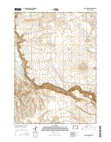
2014 Map of Scott Reservoir
USGS Topo · Published 2014About this map
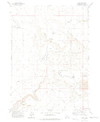
Owyhee Canyon carves a deep path through this corner of Malheur County, revealing a complex landscape of water management and high-desert terrain. The agricultural character of the area is defined by features like Happy Valley Ditch, the S Side Canal, and the Owyhee Spring Reservoir, which reflect the historical efforts to divert water into the arid surrounding basins. Higher elevations are marked by Round Mtn and the Grassy Mountain Loop, providing a stark contrast to the low-lying Happy Valley and China Gulch. In the southern reaches, Scott Reservoir and Indian Fort Cr underscore the region's reliance on intermittent water sources. For the researcher, the map details a network of backcountry routes such as Ion Hwy and Skull Creek Rd that connect these remote water points and canyon passes.
Find a feature on this map
24 named features on this map. Tap any name to fly to it.
Don’t see what you’re looking for? This feature index may not catch every label — zoom into the map to look around manually.
Map Details
Editions of this 2014 Scott Reservoir Map
This is the sole edition of this map. No revisions or reprints were ever made.
Other maps of this area

1955 · Jordan Valley
USGS Topo · 1:250,000

1957 · Jordan Valley
USGS Topo · 1:250,000

1958 · Jordan Valley
USGS Topo · 1:250,000
1969 · Threemile Hill
USGS Topo · 1:24,000
1969 · Dry Creek Rim
USGS Topo · 1:24,000

1972 · Owyhee Butte
USGS Topo · 1:24,000

1972 · Rome
USGS Topo · 1:24,000
1972 · Scott Reservoir
USGS Topo · 1:24,000
1972 · Arock
USGS Topo · 1:24,000

1979 · Rockhouse Reservoir
USGS Topo · 1:24,000