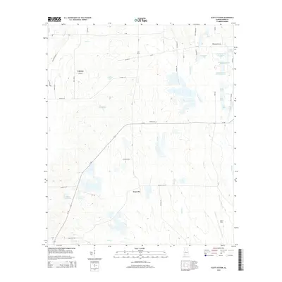
2014 Map of Scott Station
USGS Topo · Published 2014About this map
Scott Station and Zimmerman anchor this portion of Perry County, Alabama, where a network of localized settlements and family-named water bodies characterizes the landscape. The area is defined by its agricultural and aquaculture infrastructure, notably the series of lakes comprising the Lakeland Farms Lake system and private reservoirs like James A Wheeler Lake and Marguerite S Howell Lake. The drainage of Washington Creek and Brush Creek feeds these various impoundments, suggesting a rural economy closely tied to water management and land use.
Find a feature on this map
57 named features on this map. Tap any name to fly to it.
Don’t see what you’re looking for? This feature index may not catch every label — zoom into the map to look around manually.
Map Details
Editions of this 2014 Scott Station Map
This is the sole edition of this map. No revisions or reprints were ever made.
Other maps of this area

1953 · Montgomery
USGS Topo · 1:250,000

1956 · Montgomery
USGS Topo · 1:250,000

1957 · Montgomery
USGS Topo · 1:250,000

1968 · Uniontown West
USGS Topo · 1:24,000

1968 · Uniontown East
USGS Topo · 1:24,000

1968 · Browns
USGS Topo · 1:24,000

1979 · Marion North
USGS Topo · 1:24,000

1979 · Scott Station
USGS Topo · 1:24,000

1979 · Morgan Springs
USGS Topo · 1:24,000

1979 · Marion South
USGS Topo · 1:24,000